The national park cameras worth a morning, Mount Washburn to Boston Light
At 07:14:53 on 2026-10-19 the camera in the fire lookout on Mount Washburn was pointed northeast at a thin orange band along the Absaroka skyline, with the first snow of the season lying across the ridge below and one line of tracks cut down the middle of the snowfield. The frame was about five minutes old when I pulled it at 13:20 UTC on 2026-10-19. Yellowstone says the lookout stands at 10,219 feet above Dunraven Pass, that this camera looks out from inside the living quarters on the top floor, and that in summer the lookout repositions the south-facing one by hand.
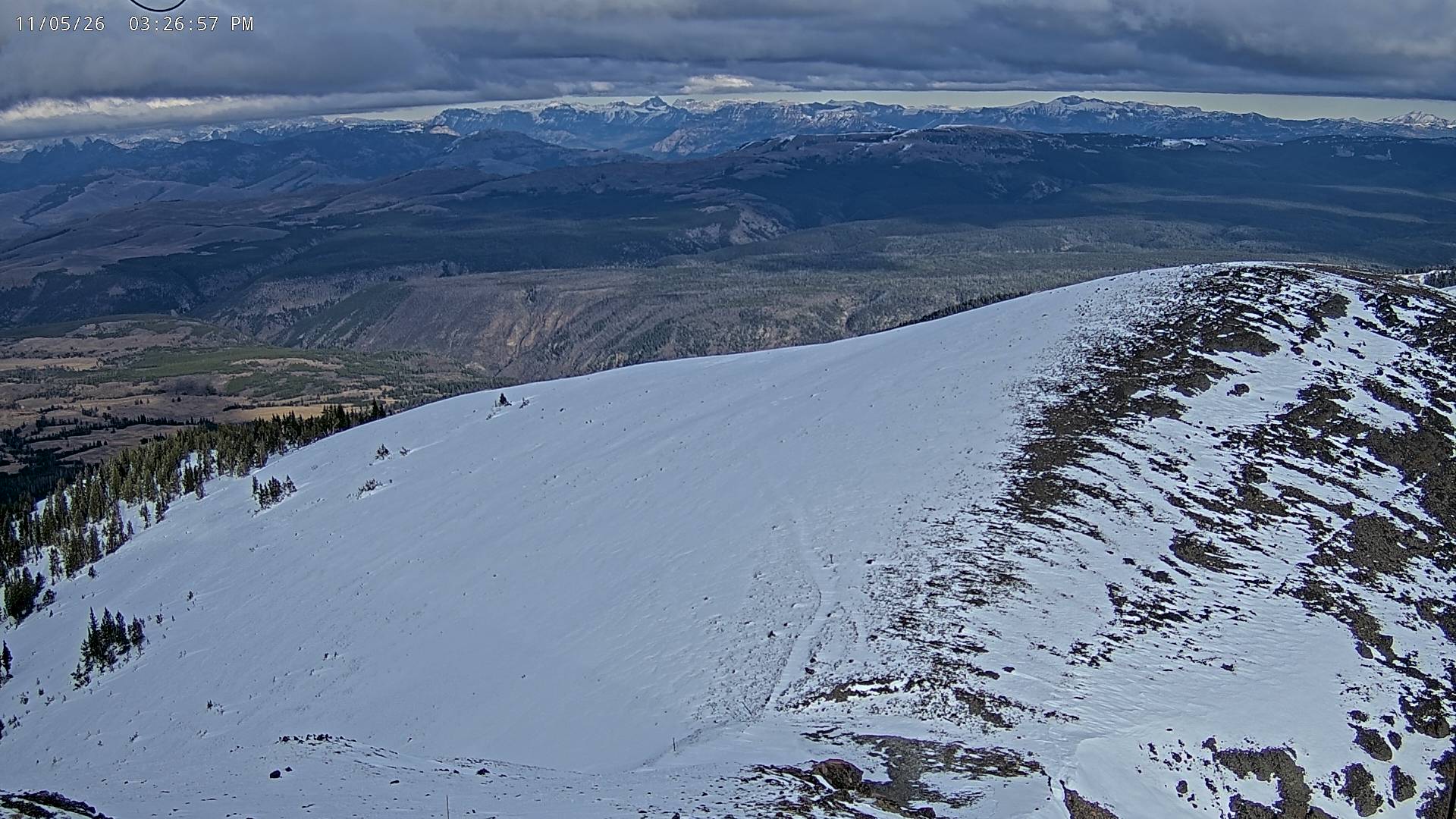
That last detail is the thing about the National Park Service's cameras. Someone is usually standing behind them.
Who actually runs a park camera
The nps source last ingested 214 cameras on 2026-10-17, and 108 of them were live on our map when I counted the fleet table at 13:17 UTC on 2026-10-19, spread across 33 park units from Acadia to Haleakalā. The Park Service lists them, but it mostly does not run them, and you can read the owner off the frame itself.
- The Grand Canyon's trailhead view carries a Grand Canyon Conservancy stamp in the corner. At 06:17 Arizona time the first switchbacks below the rim were still grey, the trail sign boarded at the top of the steps, nobody on it yet. Bright Angel Trailhead is the one to open at dawn, because the light arrives down the wall rather than on it.
- The Jordan Pond camera belongs to the restaurant. Acadia says it is hosted in partnership with Dawnland LLC, which runs the Jordan Pond House, and the frame I fetched at 09:18:19 Eastern had the lawn chairs out, the Bubbles across the water, the birches behind the house at full colour and a readout saying 49F with the wind SSE at 7 mph. It is the best foliage frame in the set this week.
- Hawaiʻi Volcanoes publishes a list that is entirely USGS. The Uēkahuna bluff camera over Kaluapele is a research instrument the observatory happens to let the public watch, which is why it pans and zooms without warning.
- Half Dome is the Yosemite Conservancy's, and at 06:20 Pacific it shows nothing but the lights of Curry Village in a black rectangle. Open it at noon or do not bother.


Four of the eight cameras at Boston National Historical Park sit on the Bunker Hill Monument and look north, south, east and west; the other four do the same job from Dorchester Heights. Two obelisks, eight views, no gaps between them. It is the most deliberate camera install in the whole list and it is for a monument you can walk around in ten minutes.
The tide burnt into the corner of the frame
Boston Light, on Little Brewster Island, carries the National Park Service arrowhead, a Coast Guard Sector Boston badge and the Hull Lifesaving Museum's logo across the top of the picture, and along the bottom it prints the tide. The frame I pulled was stamped 2026-10-19 09:17:21 and read "Tide Reading, 2026-10-19 09:06: 6.085 feet".
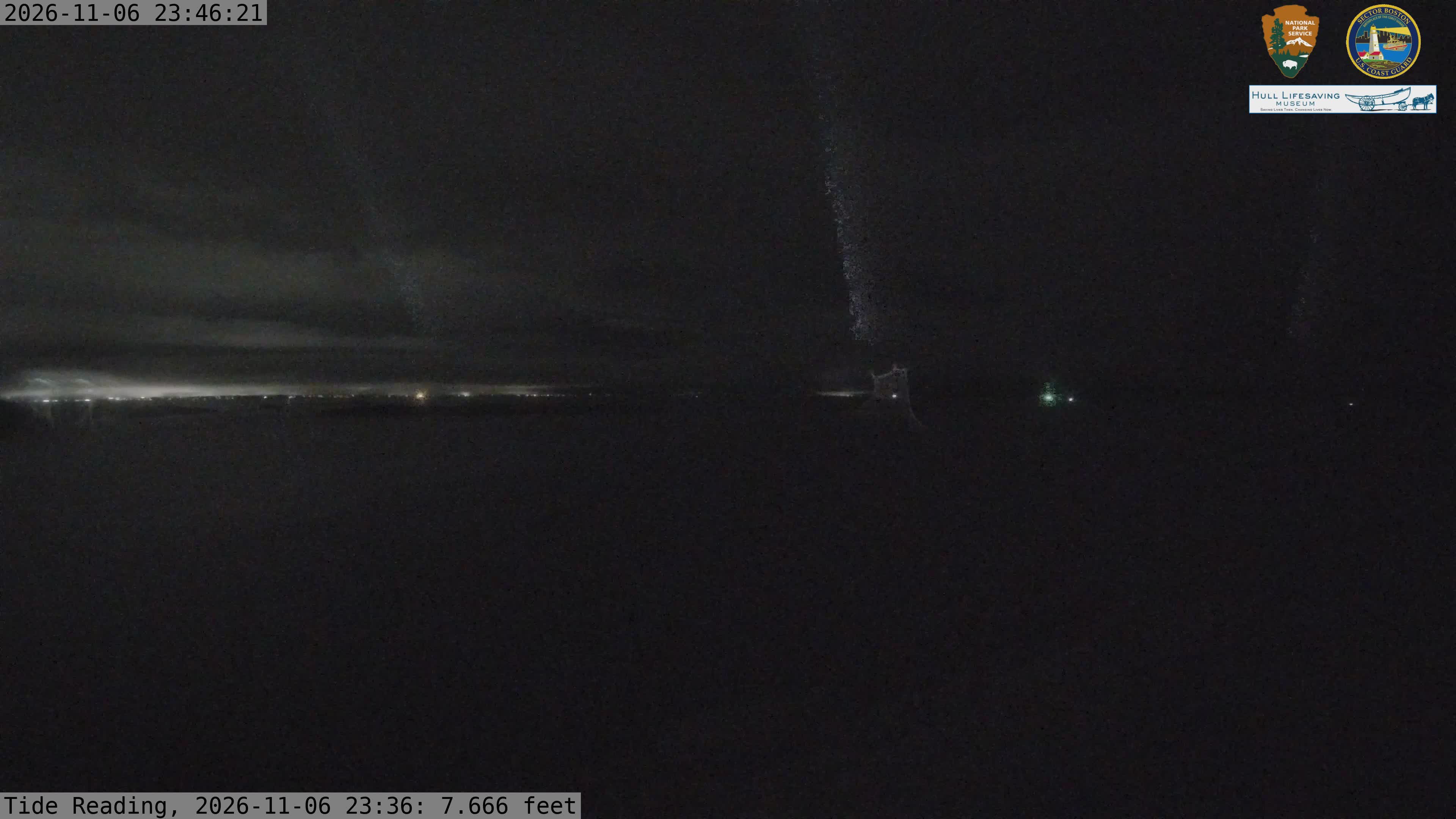
Boston Harbor Islands says the figure comes from NOAA station 8443970 in Boston, relative to mean lower low water. So I asked the gauge. At 09:06 local time on 2026-10-19 it read 6.085 feet, to the thousandth, falling from 6.902 at 08:30 to 5.967 at 09:12. The camera is not decorating the picture with a number, it is quoting a gauge you can check, and the ledges in the right foreground were about to come further out of the water for the next six hours.
There is a shipping lane in that frame too. The north view looks past the Graves towards the northern approaches, and at 09:17 there was a white hull on the horizon line between the islands.
Why a park frame can be hours old and still be fine
Isle Royale is the set I would not have expected to be the good one. The North Shore camera sits on the Ojibway tower and shoots a fisheye across the whole island to Lake Superior, and at 09:11:57 on 2026-10-19 the water was flat enough to mirror the far shore, with Pie Island's flat top sitting on the Canadian horizon and the birch stands already stripped back to white and gold.
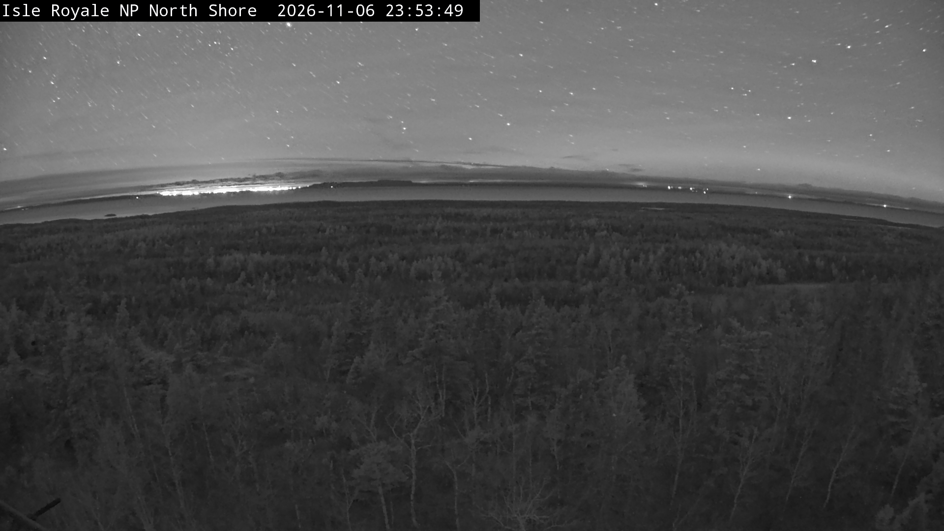
The park is honest about what those cameras can do. It says the ridge and shore cameras are solar powered and communicate several times a day, year round, when power and the radio link allow, and that Windigo, Rock Harbor and Tobin Harbor are summer only, typically from the beginning of May until late September. A frame from a solar camera on a Lake Superior ridge in October is hours old because that is the deal, not because anything failed. Yellowstone's static cameras sit at the other end of the scale and swap the picture every 30 to 60 seconds.
The one camera people actually type the name of is Old Faithful, and it is not a still at all: it is a livestream, run by volunteers from sunrise to sunset and funded by Canon through Yellowstone Forever. It lives on Yellowstone's own page rather than in the frame list, which is worth knowing before you go looking for it on a map.
What I would open tomorrow morning
Devils Tower has five cameras and the one worth the alarm is Prairie Dog Town. At 07:20 Mountain time it showed hard frost across the whole flat, the red Spearfish cliffs taking the first sun behind it, one pickup parked on the road and not a prairie dog out of a hole yet. Give it an hour after sunrise and the flat fills up.
We re-check every camera in this set on the same schedule as the rest of the fleet, and the next thing I want to measure is what happens to the Isle Royale cameras as the light goes: how many frames a day a solar camera on that ridge actually manages in December, counted rather than guessed. I will report that number in the new year.