Waterville Valley on camera, and the 3,997-foot peak above it
The camera pointed south-west across the Waterville Valley village had a frame about a minute old when I pulled it at 01:10 GMT this morning, last modified 01:09:08, and in daylight it carries the ski face of Mount Tecumseh along the top of the shot. The mountain is the reason this valley has cameras at all. It is also six feet shorter than it used to be: a survey marker set in July 2019 put it at 3,997 ft rather than the 4,003 ft it had been credited with, which knocked it off the Appalachian Mountain Club's four-thousand-footer list and left the resort with a summit that is no longer quite a summit.
Counting by distance rather than by name, there are five live cameras within 4.1 km of the base area and nine within 15.4 km, measured from our camera API on 2026-10-01 with near=43.9676,-71.4995. The public list for the town is the Waterville Valley page. Below is what each of them is actually good for, which is not the same question as which ones exist.
The three panoramas that refresh every three minutes
These are the ones I would open first, and they are the ones none of the other webcam directories carry.
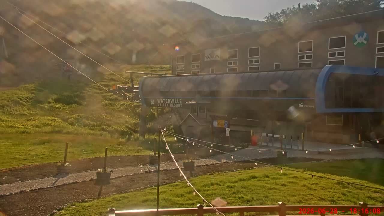
- Waterville Valley Resort, looking south-west sits 2.3 km from the base area and refreshes about every three minutes. It is the wide one: village roofs in the foreground, the Tecumseh ski trails cut into the slope behind. Worth watching between 07:00 and 09:00 local, when the light is still coming in sideways and the trails read as shadow rather than as a map.
- White Mountains Road, 2.6 km out, points along the valley floor on the same three-minute cycle. This one is a daylight camera and stops when the light goes: tonight's last frame was 19:24 local, about an hour after a sunset of 18:26.
- Mount Tecumseh is the closest thing the valley has to a mountain-face camera, 4.1 km from the base and still updating at 21:09 local last night when the other two had gone dark. In the first week of October it is the one to check for colour: the hardwood on the lower slopes turns well before the hemlock above it, so the mountain goes orange from the bottom up.
Sunrise at the valley is 06:43 local today and sunset 18:26, which is a shorter window than the resort's own season suggests, and it closes by about four minutes a day through October.
The resort's pair, summit and base
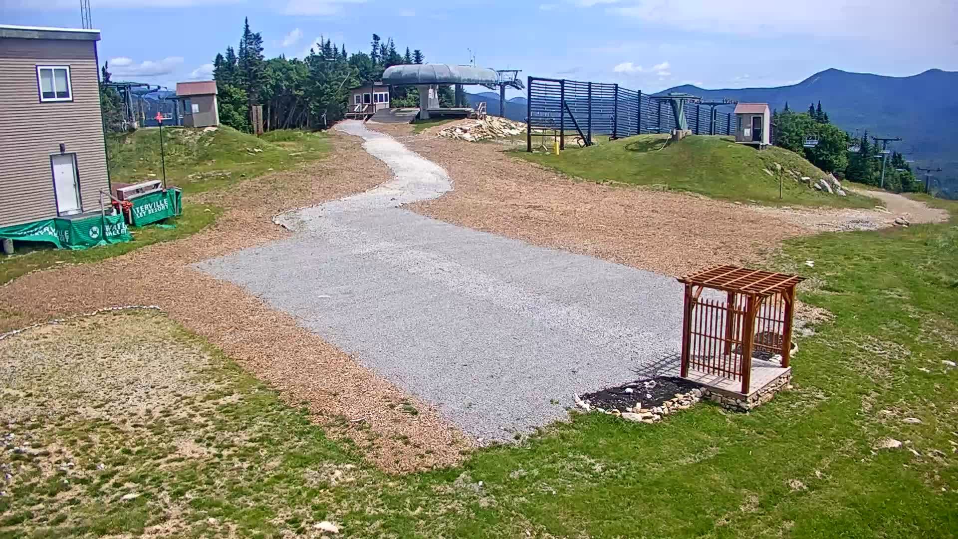
Waterville Valley runs two of its own, and these are the two every other directory shows you. At the top of the lift system there is a summit camera, and across the arrival plaza a base area camera, both on about a five-minute cycle. Published figures put the base at 1,820 ft and the summit at 3,997 ft, a 2,020 ft vertical, so the pair gives you both ends of that in two tabs. You can get the same two views from the resort's own cams page, where OpenSnow timestamps them publicly. The summit frame was two minutes old at 01:11 GMT when I checked.

In late September and early October both of these are mostly interesting for what is not there yet. The summit camera is where the first snow of the season shows up, usually as a dusting that is gone by noon, and it shows up there a good few weeks before anything settles at the base.
The drive in, on the state's cameras
Getting to the valley means Exit 28 off I-93, then 11 miles east on Route 49, and the state has that approach covered better than the valley itself. The New Hampshire DOT cameras on I-93 refresh about every 30 seconds, roughly six times faster than anything in the village:
- 93 N at mile marker 99.6 is 15.4 km from the base area and the closest of them to the Route 49 turn. Its upstream frame was generated at the moment I requested it, which is how these feeds work.
- 93 S at mile marker 95.9 and 93 N at 105.6 are RWIS stations, so they come with the road-weather instruments rather than just a view. In November these are the ones that tell you whether Route 49 is worth the drive.
There is no public camera on Route 49 itself between the exit and the village, so the eleven miles that actually decide your morning are the eleven you cannot see. Tripoli Road has none either.
The camera that counts the leaves
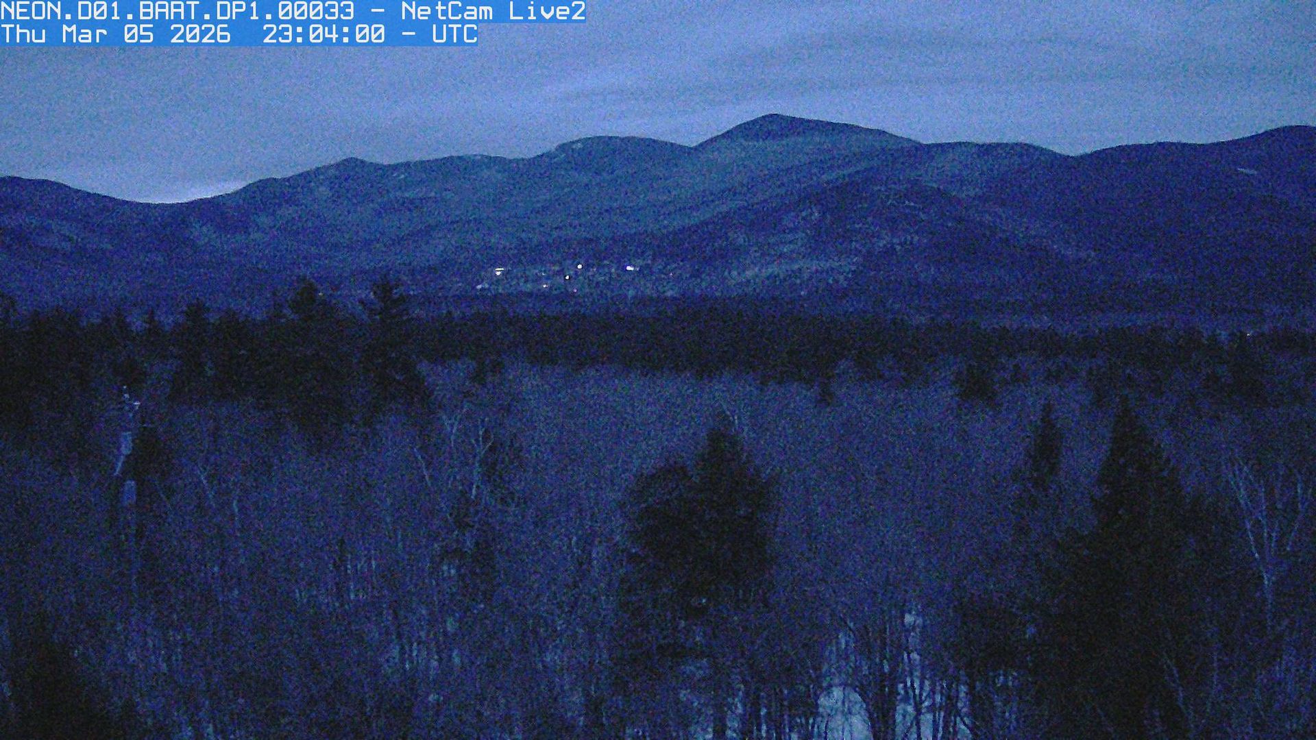
Twenty kilometres east, over the ridge in the Saco River valley, there is a camera doing something stranger than showing you the weather. The top-of-tower camera at Bartlett Experimental Forest photographs the same patch of canopy every 30 minutes and has done since December 2016, which is over 100,000 images of beech, hemlock and striped maple at 285 m. It is a PhenoCam, part of a NEON site inside the White Mountain National Forest, and the images get turned into a green chromatic coordinate, the green channel's brightness divided by the sum of all three. The number goes up in May and falls off a cliff in the first fortnight of October. If you want to know whether the foliage has peaked, the honest answer is on a graph derived from that camera rather than in anybody's forecast.
Two more for an open tab
Squam Lake at Holderness, 22.3 km south, is a continuous live stream rather than a still, so the water moves. Loon Mountain at Lincoln is 14.5 km north-west and also streaming, which makes it the nearest thing to a live video view of the Pemigewasset side. Both were up when I checked them tonight.
For scale on what this town is: the 2020 census put Waterville Valley at 508 people across 64.4 sq mi, nearly all of it national forest. Nine cameras for 508 residents is a good ratio by any standard, and it exists because a ski area and a state highway department both wanted to see the same weather.
We re-check every one of these and the valley page is built from whatever passed, so the list above will drift as cameras come and go. The thing I would like and do not have is a camera pointing up the Tripoli Road side, or at the Nordic centre, where the season starts earlier than it does on the alpine trails. If you know of a public one there, I would like the URL.