Coppabella › North-east: Peak Downs Highway
Live
Coppabella, Queensland, Australia
Local conditions
-
-
-
-
Connecting...
Location
Category
Coordinates
-21.8708, 148.4386
Feed Type
IMAGE
Camera ID
317781
Camera operated by a third party. Not affiliated with or endorsed by OpenCCTV.
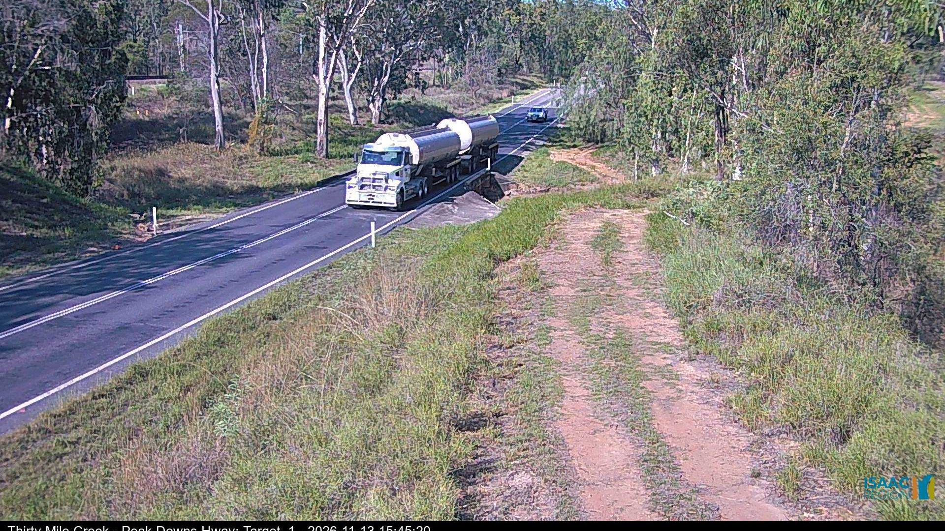
Live traffic camera on Coppabella › North-east: Peak Downs Highway in Coppabella, Queensland, AU. View real-time road conditions, congestion, and weather. Part of the Coppabella traffic camera network on opencctv.org.
Coppabella › North-east: Peak Downs Highway is a traffic camera in Coppabella, Queensland, AU, positioned at -21.8708°, 148.4386°. It looks out over the roadway and live traffic conditions. 8 other live cameras are located nearby.
Loading weather…
Recent uptime
100% over last 10 checks, latest 12 Nov 2026
Similar cameras
Frequently asked questions about Coppabella › North-east: Peak Downs Highway
Is this camera live now? +
Yes — the feed is fetched directly from the public source in real time. If the camera is offline, the page will indicate this.
Can I watch this camera on my phone? +
Yes — every camera on opencctv.org works on mobile browsers. Open the page on your phone and the live feed will play directly.
Why is the camera offline? +
Cameras occasionally go offline for maintenance, weather, or network issues. The page will indicate the camera is offline and we re-check the feed automatically.