opencctv.org

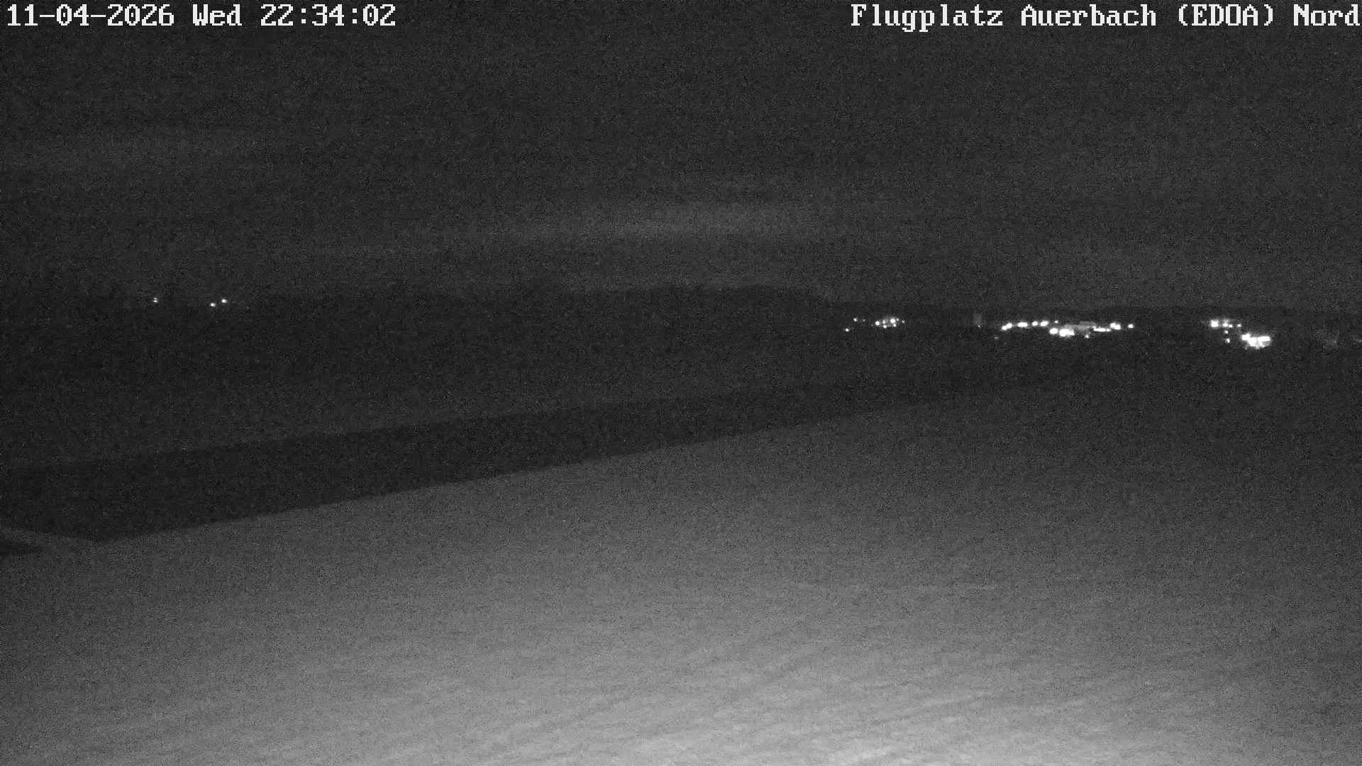
Falkenstein: Flugplatz Auerbach/V. (EDOA) - NW

Live

Falkenstein, Saxony, Germany

Local conditions - - - -
Falkenstein: Flugplatz Auerbach/V. (EDOA) - NW Falkenstein: Flugplatz Auerbach/V. (EDOA) - NW
Connecting...
View full screen Open feed URL
Location
Category
Coordinates
50.4972, 12.3785
Feed Type
IMAGE
Camera ID
74156

Live airport camera at Falkenstein: Flugplatz Auerbach/V. (EDOA) - NW in Falkenstein. View real-time airport conditions and activity. Browse all airport webcams on opencctv.org.

Falkenstein: Flugplatz Auerbach/V. (EDOA) - NW is a airport camera in Falkenstein, Saxony, DE, positioned at 50.4972°, 12.3785°. It looks out over the airfield and aircraft activity. It is one of 2 live cameras in Falkenstein.

Loading weather…
Recent uptime
83% over last 6 checks, latest 4 Nov 2026
More cameras in Falkenstein More Airport cameras Random camera

Similar cameras

Rovaniemi: Lordin Aukio, Finland
Rovaniemi, Mainland Finland
Klíny Ski Area
Klíny Ski Area
Kliny, Ustecky kraj
Cape Town: South Africa
Cape Town, Western Cape
Oslo: Havn - Raadhuskaia
Oslo, Oslo
Parga, Epirus
Parga, Epirus
Agia Kyriaki, Epirus and Western Macedonia
Honolulu: Beach
Honolulu: Beach
Honolulu, Hawaii

Frequently asked questions about Falkenstein: Flugplatz Auerbach/V. (EDOA) - NW

Is this camera live now? +
Yes — the feed is fetched directly from the public source in real time. If the camera is offline, the page will indicate this.
Can I watch this camera on my phone? +
Yes — every camera on opencctv.org works on mobile browsers. Open the page on your phone and the live feed will play directly.
Why is the camera offline? +
Cameras occasionally go offline for maintenance, weather, or network issues. The page will indicate the camera is offline and we re-check the feed automatically.

Nearby Cameras

Auerbach Airport, Falkenstein
✈️ 26 ft away
Auerbach: Vogtand
Auerbach: Vogtand
🏙️ 0.9 mi away
Auerbach: Ortsteil Rempesgrün
🏙️ 1.8 mi away
Morgenrothe-Rautenkranz: Deutsche Raumfahrtausstellung - Friedhof Morgenröthe-Rautenkranz - Rautenkranzer Straße - Muldenhammer
🌿 5.4 mi away
Schoneck: Bergstation Streugrün
⛷️ 8.4 mi away
Klingenthal › North-east
🌿 7.7 mi away
Kegelberg, Erlbach
Kegelberg, Erlbach
⚓ 12 mi away
Netzschkau › North-west: Göltzschtalbrücke
🏙️ 10 mi away