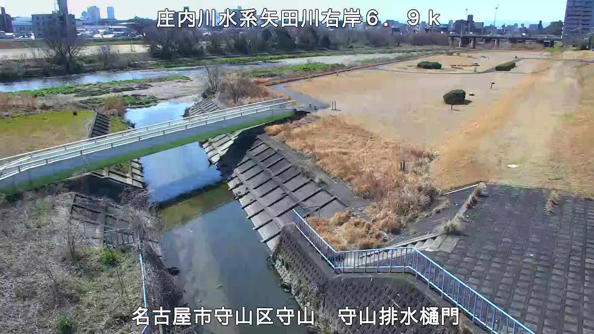
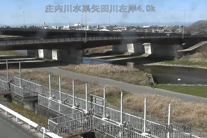
Yamada River at JR Chuo Line, Nagoya
Live
Local conditions
-
-
-
-
Connecting...
Location
Category
water
Coordinates
35.1985, 136.9437
Feed Type
IMAGE
Camera ID
88962
Camera operated by MLIT river. Not affiliated with or endorsed by OpenCCTV.
Live water webcam at Yamada River at JR Chuo Line, Nagoya in Nagoya City, Aichi, JP. Watch real-time conditions at Yamada River at JR Chuo Line, Nagoya. Explore more live cameras from around the world on opencctv.org.
Yamada River at JR Chuo Line, Nagoya is a water camera in Nagoya City, Aichi, JP, positioned at 35.1985°, 136.9437°. It looks out over the water and surrounding shoreline. It is one of 53 live cameras in Nagoya City.
Loading weather…
Recent uptime
42% over last 24 checks, latest 10 Nov 2026
Similar cameras


Frequently asked questions about Yamada River at JR Chuo Line, Nagoya
Is this camera live now? +
Yes — the feed is fetched directly from the public source in real time. If the camera is offline, the page will indicate this.
Can I watch this camera on my phone? +
Yes — every camera on opencctv.org works on mobile browsers. Open the page on your phone and the live feed will play directly.
Why is the camera offline? +
Cameras occasionally go offline for maintenance, weather, or network issues. The page will indicate the camera is offline and we re-check the feed automatically.