opencctv.org

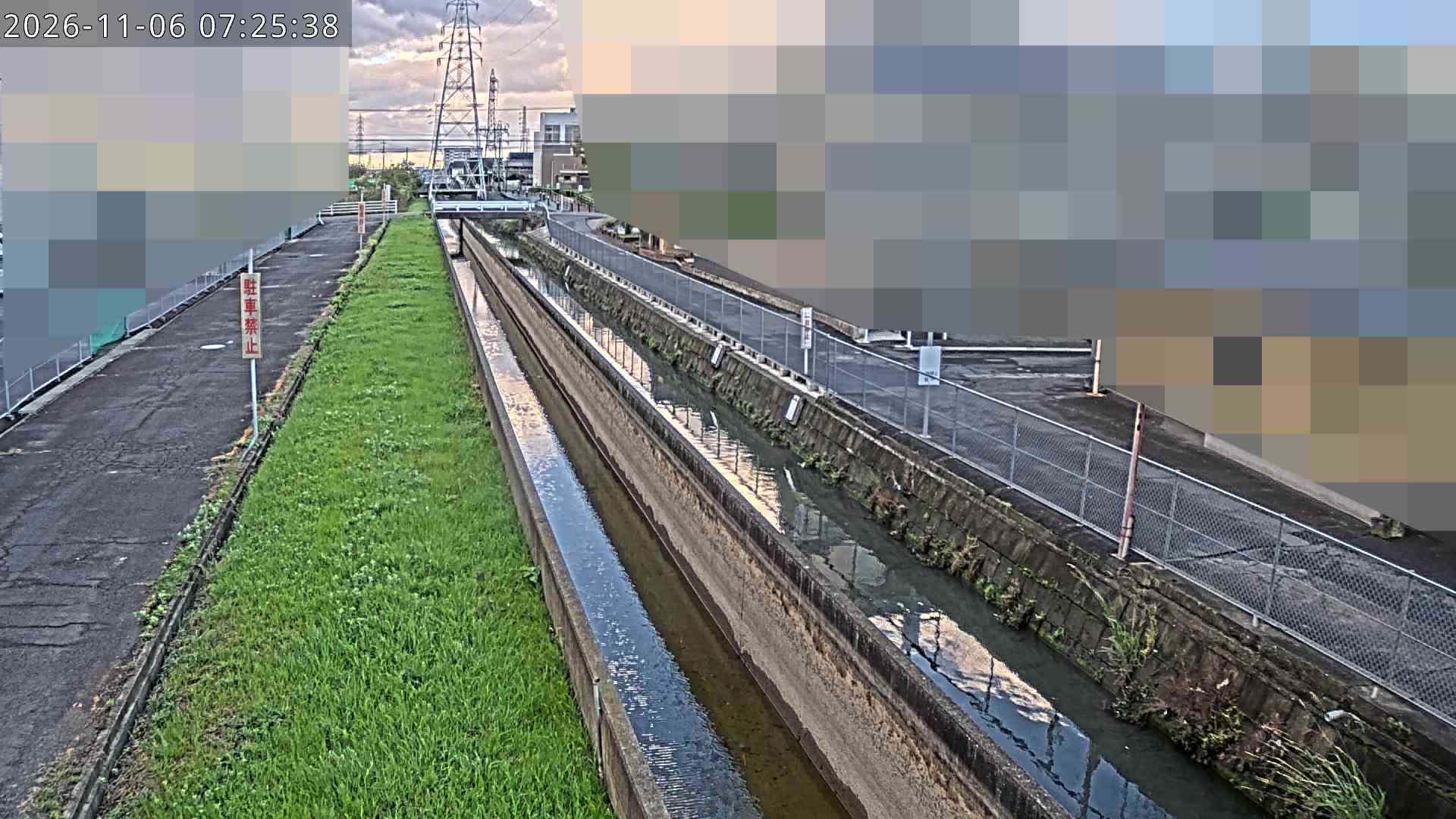
Zenta River, Uzumita Bridge

Live

Tsushima, Aichi, Japan

Local conditions - - - -
Zenta River, Uzumita Bridge Zenta River, Uzumita Bridge
Connecting...
View full screen Open feed URL
Location
Category
water
Coordinates
35.1748, 136.7388
Feed Type
IMAGE
Camera ID
89048

Live water webcam at Zenta River, Uzumita Bridge in Tsushima, Aichi, JP. Watch real-time conditions at Zenta River, Uzumita Bridge. Explore more live cameras from around the world on opencctv.org.

Zenta River, Uzumita Bridge is a water camera in Tsushima, Aichi, JP, positioned at 35.1748°, 136.7388°. It looks out over the water and surrounding shoreline. 8 other live cameras are located nearby.

Loading weather…
Recent uptime
100% over last 9 checks, latest 5 Nov 2026
More cameras in Tsushima Random camera

Similar cameras

Ishikari River KP 150.4, Asahikawa
Asahikawa
Ishikari River KP 153.6, Asahikawa
Asahikawa
Ishikari River KP 155.2, Asahikawa
Asahikawa
Ishikari River KP 157.8, Asahikawa
Asahikawa
Ishikari River KP 161.3, Asahikawa
Asahikawa
Chu-betsu River KP 1.2, Asahikawa
Asahikawa

Frequently asked questions about Zenta River, Uzumita Bridge

Is this camera live now? +
Yes — the feed is fetched directly from the public source in real time. If the camera is offline, the page will indicate this.
Can I watch this camera on my phone? +
Yes — every camera on opencctv.org works on mobile browsers. Open the page on your phone and the live feed will play directly.
Why is the camera offline? +
Cameras occasionally go offline for maintenance, weather, or network issues. The page will indicate the camera is offline and we re-check the feed automatically.

Nearby Cameras

Katsuragi, Kiso River
💧 3.3 mi away
佐古木交差点西 (National Highway Route No.1)
🚗 4.0 mi away
Tatuta Great Bridge Lower
💧 3.6 mi away
弥富高架橋南交差点東 (National Highway Route No.1)
🚗 4.2 mi away
Tomei-Meihan Expressway Upper Section
💧 4.2 mi away
Tatsuta Bridge, Aisei City
💧 4.0 mi away
Yatomi Water Level Station
💧 4.7 mi away
蟹江大橋左岸 (National Highway Route No.1)
🚗 4.5 mi away