opencctv.org

円部 (National Highway Route No.13)

Live

Fukushima City, Fukushima, Japan

Local conditions - - - -
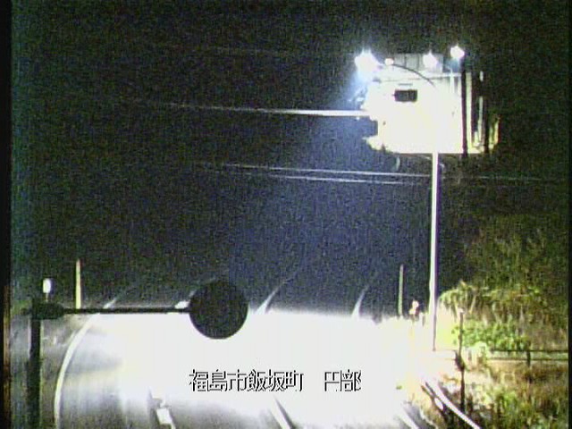
円部 (National Highway Route No.13) 円部 (National Highway Route No.13)
Connecting...
View full screen Open feed URL
Location
Category
Coordinates
37.8347, 140.3858
Feed Type
IMAGE
Camera ID
97983

Camera operated by MLIT Road Bureau 道路情報提供システム. Not affiliated with or endorsed by OpenCCTV.

Live traffic camera on 円部 (National Highway Route No.13) in Fukushima City, Fukushima, JP. View real-time road conditions, congestion, and weather. Part of the Fukushima City traffic camera network on opencctv.org.

円部 (National Highway Route No.13) is a traffic camera in Fukushima City, Fukushima, JP, positioned at 37.8347°, 140.3858°. It looks out over the roadway and live traffic conditions. It is one of 83 live cameras in Fukushima City.

Loading weather…
Recent uptime
93% over last 15 checks, latest 11 Nov 2026
More cameras in Fukushima City More Traffic cameras Random camera

Similar cameras

長万部町大浜情報板 (National Highway Route No.5)
Oshamanbe Town, Hokkaido
黒松内町目名峠 (National Highway Route No.5)
Kuromatsunai Town, Hokkaido
稲穂峠稲穂TN(仁木側) (National Highway Route No.5)
Niki Town, Hokkaido
小樽市塩谷TN(札幌側) (National Highway Route No.5)
Otaru City, Hokkaido
札幌市小野幌 (National Highway Route No.12)
Sapporo City, Hokkaido
江別市江別太 (National Highway Route No.12)
Ebetsu City, Hokkaido

Frequently asked questions about 円部 (National Highway Route No.13)

Is this camera live now? +
Yes — the feed is fetched directly from the public source in real time. If the camera is offline, the page will indicate this.
Can I watch this camera on my phone? +
Yes — every camera on opencctv.org works on mobile browsers. Open the page on your phone and the live feed will play directly.
Why is the camera offline? +
Cameras occasionally go offline for maintenance, weather, or network issues. The page will indicate the camera is offline and we re-check the feed automatically.

Nearby Cameras

新高平トンネル起点坑口 (E13 TOHOKU-CHUO Expressway)
🚗 0.2 mi away
Fukushima Tunnel North - E4 Tohoku Expressway
🚗 1.3 mi away
中野朴沢 (National Highway Route No.13)
🚗 2.0 mi away
North Hattanda River, Fukushima City
💧 2.4 mi away
新長老沢橋 (E13 TOHOKU-CHUO Expressway)
🚗 2.2 mi away
福島大笹生IC (E13 TOHOKU-CHUO Expressway)
🚗 2.9 mi away
Matsukawa Sediment Deposit Area
💧 3.1 mi away
Chorobridge Downstream, Fukushima
💧 3.5 mi away