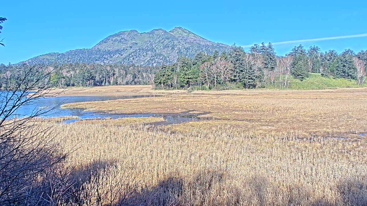
Mount Nikko-Shirane, Kamikogawa
Live
Katashina Village, Gunma, Japan
Local conditions
-
-
-
-
Connecting...
Location
Category
Coordinates
36.7908, 139.2600
Feed Type
IMAGE
Camera ID
121394
Live volcano webcam at Mount Nikko-Shirane, Kamikogawa in Katashina Village, Gunma, JP. Watch real-time conditions at Mount Nikko-Shirane, Kamikogawa. Explore more volcano cameras from around the world on opencctv.org.
Mount Nikko-Shirane, Kamikogawa is a volcano camera in Katashina Village, Gunma, JP, positioned at 36.7908°, 139.2600°. It looks out over the volcano and surrounding terrain. 8 other live cameras are located nearby.
Loading weather…
Recent uptime
92% over last 13 checks, latest 3 Nov 2026
Similar cameras
Frequently asked questions about Mount Nikko-Shirane, Kamikogawa
Is this camera live now? +
Yes — the feed is fetched directly from the public source in real time. If the camera is offline, the page will indicate this.
Can I watch this camera on my phone? +
Yes — every camera on opencctv.org works on mobile browsers. Open the page on your phone and the live feed will play directly.
Why is the camera offline? +
Cameras occasionally go offline for maintenance, weather, or network issues. The page will indicate the camera is offline and we re-check the feed automatically.