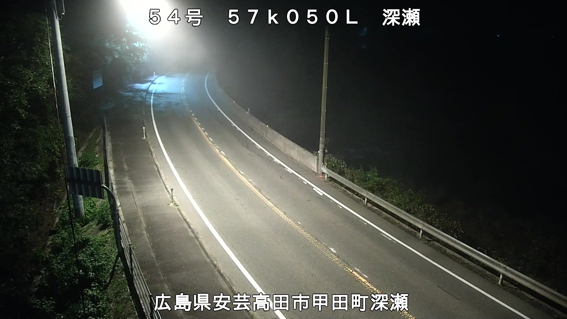
深瀬 (National Highway Route No.54)
Live
Akitakata City, Hiroshima, Japan
Local conditions
-
-
-
-
Connecting...
Location
Category
Coordinates
34.7383, 132.7833
Feed Type
IMAGE
Camera ID
99324
Camera operated by MLIT Road Bureau 道路情報提供システム. Not affiliated with or endorsed by OpenCCTV.
Live traffic camera on 深瀬 (National Highway Route No.54) in Akitakata City, Hiroshima, JP. View real-time road conditions, congestion, and weather. Part of the Akitakata City traffic camera network on opencctv.org.
深瀬 (National Highway Route No.54) is a traffic camera in Akitakata City, Hiroshima, JP, positioned at 34.7383°, 132.7833°. It looks out over the roadway and live traffic conditions. It is one of 31 live cameras in Akitakata City.
Loading weather…
Recent uptime
93% over last 14 checks, latest 11 Nov 2026
Similar cameras
Frequently asked questions about 深瀬 (National Highway Route No.54)
Is this camera live now? +
Yes — the feed is fetched directly from the public source in real time. If the camera is offline, the page will indicate this.
Can I watch this camera on my phone? +
Yes — every camera on opencctv.org works on mobile browsers. Open the page on your phone and the live feed will play directly.
Why is the camera offline? +
Cameras occasionally go offline for maintenance, weather, or network issues. The page will indicate the camera is offline and we re-check the feed automatically.


