opencctv.org

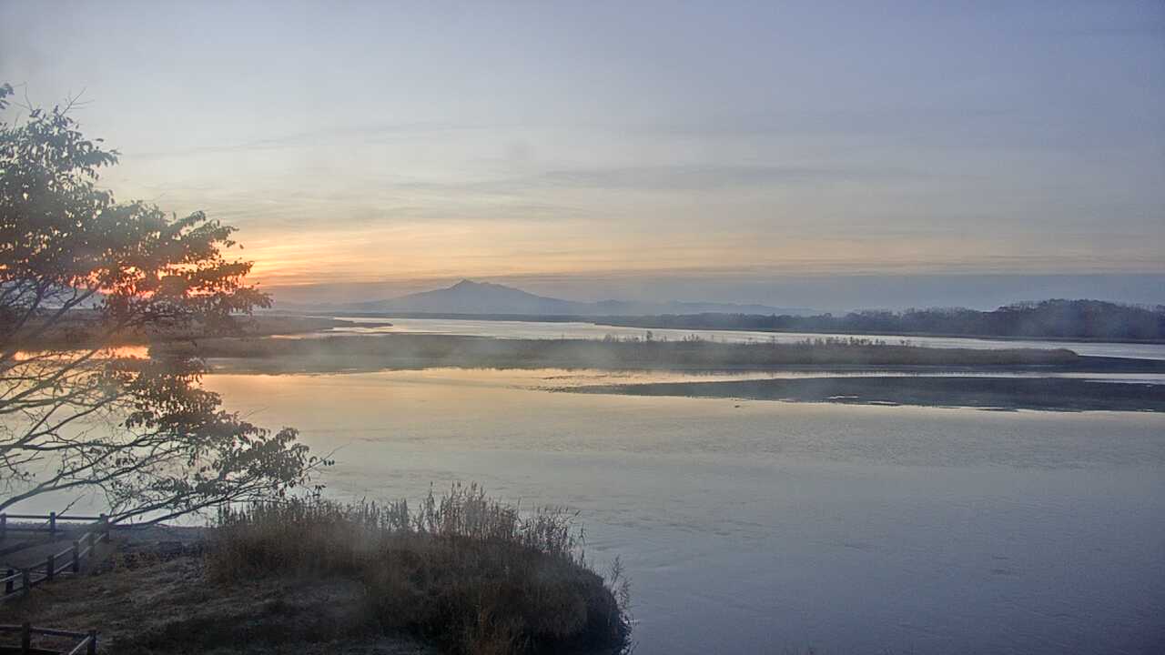
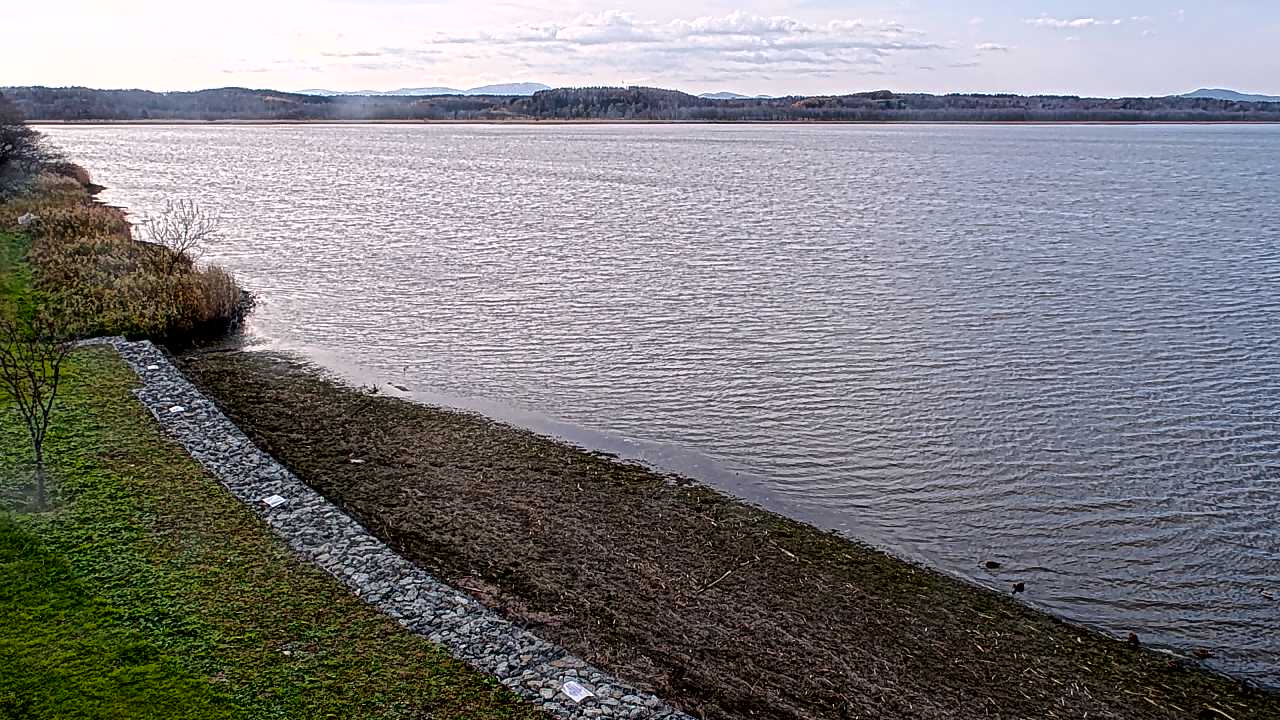
Lake Kussharo from Bihoro Pass

Not updatingsame picture since 4 Nov 2026, as of our check on 5 Nov 2026

Hokkaido, Japan

Local conditions - - - -
Lake Kussharo from Bihoro Pass Lake Kussharo from Bihoro Pass
Connecting...
View full screen Open feed URL
Location
Category
Coordinates
43.6484, 144.2480
Feed Type
IMAGE
Camera ID
175273

Live nature webcam at Lake Kussharo from Bihoro Pass in 網走郡, Hokkaido, JP. Watch real-time conditions at Lake Kussharo from Bihoro Pass. Explore more nature cameras from around the world on opencctv.org.

Lake Kussharo from Bihoro Pass is a nature camera in 網走郡, Hokkaido, JP, positioned at 43.6484°, 144.2480°. It looks out over the surrounding landscape. 8 other live cameras are located nearby.

Loading weather…
Recent checks
reachable in 9 of 19 checks, latest 5 Nov 2026, but the picture is not changing
More cameras in Hokkaido More Nature cameras Random camera

Similar cameras

Lake Tofu and Mount Sharidake
網走市, Hokkaido
Lake Mashu from First Viewpoint, Hokkaido
川上郡, Hokkaido
Red-crowned Cranes, Kushiro Wetland
阿寒郡, Hokkaido
Sarobetsu Wetland from Horonobe Visitor Center
天塩郡, Hokkaido
Kutcharo Lake Whooper Swans
枝幸郡, Hokkaido
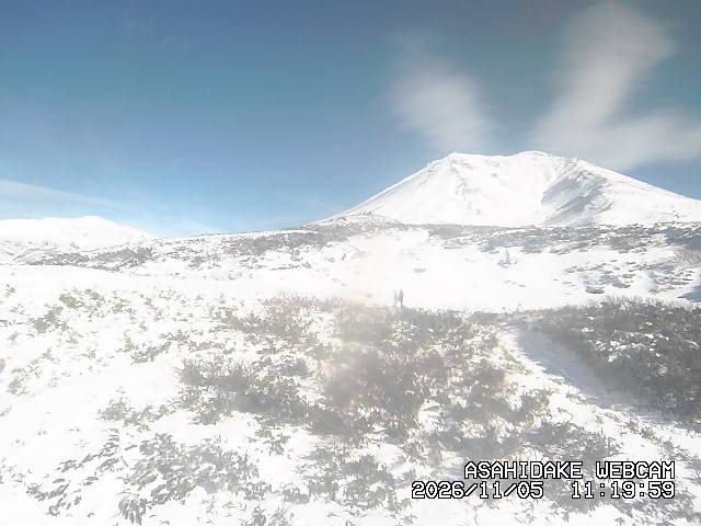
Asahidake Peak, Daisetsu Mountains, Hokkaido
上川郡, Hokkaido

Frequently asked questions about Lake Kussharo from Bihoro Pass

Can I watch this camera on my phone? +
Yes — every camera on opencctv.org works on mobile browsers. Open the page on your phone and the live feed will play directly.
Why is the camera offline? +
Cameras occasionally go offline for maintenance, weather, or network issues. The page will indicate the camera is offline and we re-check the feed automatically.

Nearby Cameras

美幌峠(釧路側) (National Highway Route No.243)
🚗 276 ft away
美幌峠(網走側) (National Highway Route No.243)
🚗 0.4 mi away
Atosanupuri, Lake Kussharo South
🌋 7.1 mi away
Highland Kiyomizu 725, Mokit Mountain Trail
🏙️ 6.5 mi away
清水の沢覆道No.4 (National Highway Route No.241)
🚗 13 mi away
Atosanupuri Sulfur Mountain Parking
🌋 9.8 mi away
Bihoro River KP3.4
Bihoro River KP3.4
💧 13 mi away
Atosanupuri Volcano, Northeast Slope
🌋 11 mi away