opencctv.org

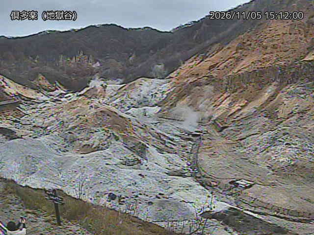
Kuttara Caldera, Hell Valley

Live

Noboribetsu, Hokkaido, Japan

Local conditions - - - -
Kuttara Caldera, Hell Valley Kuttara Caldera, Hell Valley
Connecting...
View full screen
Location
Category
Coordinates
42.4972, 141.1462
Feed Type
IMAGE
Camera ID
121366

Live volcano webcam at Kuttara Caldera, Hell Valley in Noboribetsu, Hokkaido, JP. Watch real-time conditions at Kuttara Caldera, Hell Valley. Explore more volcano cameras from around the world on opencctv.org.

Kuttara Caldera, Hell Valley is a volcano camera in Noboribetsu, Hokkaido, JP, positioned at 42.4972°, 141.1462°. It looks out over the volcano and surrounding terrain. It is one of 2 live cameras in Noboribetsu.

Loading weather…
Recent uptime
89% over last 9 checks, latest 4 Nov 2026
More cameras in Noboribetsu More Nature cameras Random camera

Similar cameras

Atosanupuri Volcano, Northeast Slope
Teshikaga, Hokkaido
Atosanupuri Sulfur Mountain Parking
Teshikaga, Hokkaido
Atosanupuri, Lake Kussharo South
Teshikaga, Hokkaido
Meakan Volcano, Upper Totsutsubessu
Kushiro, Hokkaido
Daisetsu Mountain, Chuubetsu Lake East
Biei, Hokkaido
Daisetsu Mountain, Asahidake Summit View
Higashikawa, Hokkaido

Frequently asked questions about Kuttara Caldera, Hell Valley

Is this camera live now? +
Yes — the feed is fetched directly from the public source in real time. If the camera is offline, the page will indicate this.
Can I watch this camera on my phone? +
Yes — every camera on opencctv.org works on mobile browsers. Open the page on your phone and the live feed will play directly.
Why is the camera offline? +
Cameras occasionally go offline for maintenance, weather, or network issues. The page will indicate the camera is offline and we re-check the feed automatically.

Nearby Cameras

Kuttara Caldera, 414m Peak
🌋 0.7 mi away
伊達市名水橋 (National Highway Route No.453)
🚗 11 mi away
美笛峠滝笛 (National Highway Route No.276)
🚗 14 mi away
室蘭市陣屋 (National Highway Route No.37)
🚗 13 mi away
Chikiu Cape Lighthouse, Muroran
⚓ 15 mi away
室蘭 (Muroran)
室蘭 (Muroran)
🚗 15 mi away
伊達市南稀府 (National Highway Route No.37)
🚗 13 mi away
Mount Usu, East Lake Shore
🌋 14 mi away