opencctv.org

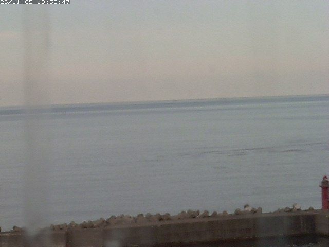
知床 (Shiretoko)

Live

Shari, Hokkaido, Japan

Local conditions - - - -
知床 (Shiretoko) 知床 (Shiretoko)
Connecting...
View full screen Open feed URL
Location
Category
Coordinates
44.0740, 144.9640
Feed Type
IMAGE
Camera ID
121461

Live traffic camera on 知床 (Shiretoko) in Shari, Hokkaido, JP. View real-time road conditions, congestion, and weather. Part of the Shari traffic camera network on opencctv.org.

Shiretoko is monitored by a traffic camera on the road through Shari in northeastern Hokkaido. The feed displays live traffic conditions and roadway status in this remote peninsula region, known for its rugged coastline and national park designation.

Loading weather…
Recent uptime
92% over last 12 checks, latest 5 Nov 2026
More cameras in Shari More Traffic cameras Random camera

Similar cameras

STV本社 (Sapporo HQ)
STV本社 (Sapporo HQ)
Sapporo, Hokkaido
大通公園 (Odori Park)
大通公園 (Odori Park)
Sapporo, Hokkaido
JR札幌駅 (JR Sapporo Station)
Sapporo, Hokkaido
大倉山ジャンプ競技場 (Okurayama Ski Jump)
Sapporo, Hokkaido
新千歳空港ターミナル (New Chitose Terminal)
Chitose, Hokkaido
新千歳空港滑走路 (New Chitose Runway)
Chitose, Hokkaido

Frequently asked questions about 知床 (Shiretoko)

Is this camera live now? +
Yes — the feed is fetched directly from the public source in real time. If the camera is offline, the page will indicate this.
Can I watch this camera on my phone? +
Yes — every camera on opencctv.org works on mobile browsers. Open the page on your phone and the live feed will play directly.
Why is the camera offline? +
Cameras occasionally go offline for maintenance, weather, or network issues. The page will indicate the camera is offline and we re-check the feed automatically.

Nearby Cameras

斜里町オシンコシン (National Highway Route No.334)
🚗 2.9 mi away
斜里町知布泊 (National Highway Route No.334)
🚗 10.0 mi away
羅臼町春日 (National Highway Route No.335)
🚗 12 mi away
Live Camera Axis Q1798-LE
🏙️ 12 mi away
根北峠 (National Highway Route No.244)
🚗 23 mi away
根北峠頂上 (National Highway Route No.244)
🚗 23 mi away
Kaiyodai Observatory, Nakashibetsu
🌿 32 mi away
Nakashibetsu Airport (#1)
✈️ 34 mi away