Colorado, United States Live Cameras
1,811 live cameras across cities
Featured live cameras in Colorado 6 picks


At a glance
Explore 1,811 live webcams in Colorado, United States on an interactive map. Live cameras are available across 323 cities and towns.
Camera categories include traffic, ski, aviation, nature - all updated in real time from public transportation agencies, weather services, and other official sources.
Open the live webcam map to explore Colorado cameras or try a random live camera.
About live cameras in Colorado
Colorado's webcam network includes traffic monitoring across major highways and mountain passes, ski resort conditions, airport views, and river levels. Traffic cameras cover routes through Denver, mountain corridors, and regional intersections. River cameras track water conditions on the South Platte River near Trumbull, the White River near Rangely, Clear Creek at Golden, and Plum Creek near Sedalia, providing real-time data useful for flood monitoring and water management.
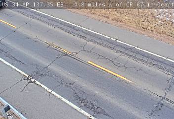
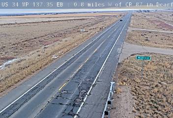
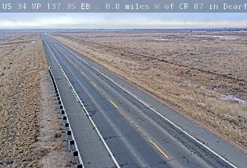
Notable cameras: US 287 MP 54.30 NB : 0.5 miles N of CR H: North · US 287 MP 54.30 NB : 0.5 miles N of CR H: South · US 34 MP 137.35 EB : 0.8 miles W of CR 87 in Dearfield: Looking at Road Surface · US 34 MP 137.35 EB : 0.8 miles W of CR 87 in Dearfield: Looking East.
Live Cameras in Colorado
Other Cities
Keenesburg (2) · Prowers County (2) · Fort Lupton (2) · Gypsum (2) · Kiowa County (2) · Cascade (2) · Arvada (2) · Littleton (2) · Loma (2) · Severance (2) · Indian Hills (2) · Ward (2) · Aurora (2) · Eagle (2) · 6 miles east of the Dillon area (2) · Lynn (2) · City of Creede (2) · Atwood (2) · Empire (2) · Estes Park (2) · Evans (2) · 1 mile south of the Durango area (2) · Roggen (2) · Falcon (2) · Grand Junction (2) · Sterling (2) · Fort Carson (2) · Hillrose (1) · Bethune (1) · Hudson (1) · Berkley (1) · Beaver Brook (1) · Johnson Village (1) · Julesburg (1) · Aspen Park (1) · Aspen Downtown Mountain View (1) · Aspen Downtown Base View (1) · Arriba (1) · Antonito (1) · Aguilar (1) · Welby (1) · Lakeside (1) · Agate (1) · Laporte (1) · Adams County (1) · 1 mile west of the Snowmass Village area (1) · Leadville (1) · 9 miles west of the Sterling area (1) · 9 miles west of the Ridgway area (1) · 9 miles west of the Cheyenne Wells area (1) · 9 miles east of the Bayfield area (1) · Ludlow (1) · Westminster (1) · Mary Jane Looking East (1) · Mary Jane Looking West (1) · Mead (1) · 7 miles west of the Steamboat Springs area (1) · 7 miles west of the Empire area (1) · Minturn (1) · 1 mile west of the Copper Mountain area (1) · 7 miles south of the Holyoke area (1) · 6 miles west of the Limon area (1) · 6 miles west of the Golden area (1) · 6 miles west of the Durango area (1) · 6 miles south of the Copper Mountain area (1) · 6 miles north of the Dove Creek area (1) · 5 miles south of the Aspen Park area (1) · 1 mile north of the Alma area (1) · 5 miles north of the Lynn area (1) · 4 miles west of the Wiggins area (1) · Mountain Village (1) · Nederland (1) · North Washington (1) · 4 miles west of the Garfield area (1) · Northglenn (1) · 4 miles south of the Rock Creek Park area (1) · Olathe (1) · 1 mile west of the Center area (1) · 4 miles south of the Redstone area (1) · 4 miles south of the Colona area (1) · Windsor (1) · 4 miles east of the Mancos area (1) · Parker (1) · 33 miles north of the Lake City area (1) · 30 miles south of the Rangely area (1) · 30 miles south of the Brush area (1) · 30 miles north of the Loma area (1) · 3 miles south of the Littleton area (1) · 3 miles south of the Durango area (1) · 3 miles south of the Aspen Park area (1) · Pueblo West (1) · Rangely (1) · 3 miles east of the Vail area (1) · Red Feather Lakes (1) · 1 mile south of the Starkville area (1) · 28 miles east of the Walden area (1) · Rifle (1) · 1 mile south of the Estes Park area (1) · 23 miles north of the Fairplay area (1) · 21 miles south of the Wray area (1) · 20 miles west of the Gunnison area (1) · 20 miles south of the Silverton area (1) · Saguache (1) · 2 miles west of the Wiggins area (1) · 2 miles south of the Durango area (1) · Salida (1) · 2 miles north of the Aspen Park area (1) · 2 miles east of the Vail area (1) · Sedalia (1) · 1 mile east of the Basalt area (1) · Seibert (1) · Silt (1) · 2 miles east of the Orchard Mesa area (1) · 19 miles west of the Maybell area (1) · 19 miles south of the Lamar area (1) · 19 miles east of the Fort Garland area (1) · 18 miles west of the Twin Lakes area (1) · South Fork (1) · 18 miles north of the Nunn area (1) · 14 miles east of the Hartsel area (1) · Strasburg (1) · Stratton (1) · 13 miles north of the Saguache area (1) · Tabernash (1) · 11 miles west of the Wiggins area (1) · Colorado Springs TSG (1) · 11 miles west of the Delta area (1) · Trumbull (1) · 11 miles north of the Rifle area (1) · Deer Trail (1) · De Beque (1) · Custer County (1) · Eads (1) · Curecanti National Recreation Area (1) · Edwards (1) · 11 miles north of the Fairplay area (1) · Cripple Creek (1) · Conejos County (1) · Commerce City (1) · Florissant Fossil Beds National Monument (1) · 10 miles south of the Kremmling area (1) · Woodmoor (1) · Fort Garland (1) · Colorado National Monument (1) · Coaldale (1) · Walton Peak (1) · Fremont Pass looking east (1) · Fremont Pass looking west (1) · Fremont Pass road surface (1) · Castle Pines (1) · Fruita (1) · Gardner (1) · Genesee (1) · Genoa (1) · Carr (1) · Carbondale (1) · Canon City (1) · Cameo (1) · Burlington (1) · Broadmoor (1) · Brighton (1) · Greenwood Village (1) · Briggsdale (1) · Blue River (1) · Black Hawk (1) · Black Canyon Of The Gunnison National Park (1) · Hartsel (1) · 1 mile north of the Gilcrest area (1)

