opencctv.org

Northern Aroostook Reg Airport (W)

Live

Frenchville, Maine, United States

Local conditions - - - -
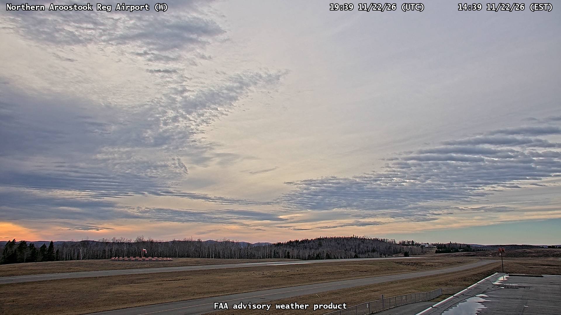
Northern Aroostook Reg Airport (W) Northern Aroostook Reg Airport (W)
Connecting...
View full screen
Location
Category
Coordinates
47.2870, -68.3138
Feed Type
IMAGE
Camera ID
215554

Camera operated by LifeFlight of Maine. Not affiliated with or endorsed by OpenCCTV.

Live airport camera at Northern Aroostook Reg Airport (W) in Frenchville. View real-time airport conditions and activity. Browse all airport webcams on opencctv.org.

Northern Aroostook Reg Airport (W) is a aviation camera in Frenchville, Maine, US, positioned at 47.2870°, -68.3138°. It looks out over the airfield and aircraft activity, facing w. It is one of 4 live cameras in Frenchville.

Loading weather…
Recent uptime
100% over last 10 checks, latest 21 Nov 2026
More cameras in Frenchville More Airport cameras Random camera

Similar cameras

Calgary - Springbank (N)
Calgary - Springbank, Alberta
Calgary - Springbank (E)
Calgary - Springbank, Alberta
Calgary - Springbank (S)
Calgary - Springbank, Alberta
Calgary - Springbank (W)
Calgary - Springbank, Alberta
Wekweeti (W)
Wekweeti (W)
Wekweeti, Northwest Territories
Wekweeti (SW)
Wekweeti (SW)
Wekweeti, Northwest Territories

Nearby Cameras

Northern Aroostook Reg Airport (N)
✈️ 0 ft away
Northern Aroostook Reg Airport (E)
✈️ 0 ft away
Northern Aroostook Reg Airport (S)
✈️ 0 ft away
Northern Aroostook Regional Airport (FVE)
✈️ 0.3 mi away
Mont Farlagne - Mont Farlagne Webcam
⛷️ 9.2 mi away
Mont Farlagne Route 2
🚗 9.7 mi away
Quisibis Hill Route 2
🚗 13 mi away
Rt1 Mile 480 SB (Van Buren)
🚗 20 mi away