Nebraska, United States Live Cameras
361 live cameras across cities
Featured live cameras in Nebraska 6 picks


At a glance
Roads with the most cameras in Nebraska
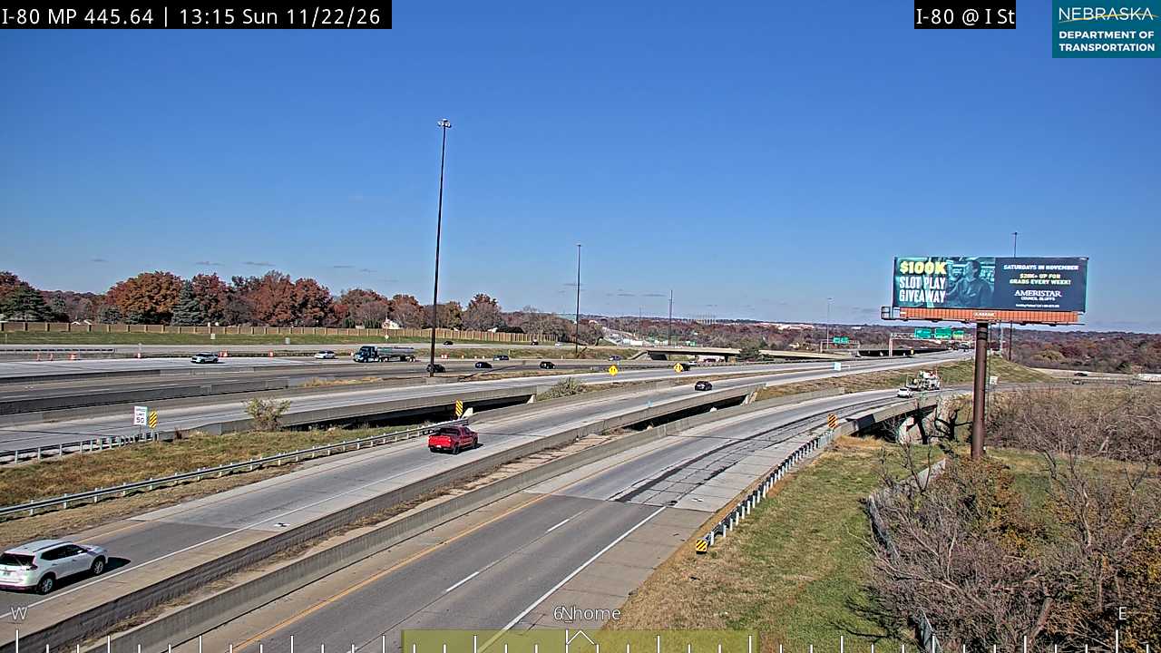
I-80 has the most cameras here: 23 of 361.
| Road | Type | Cameras | Share |
|---|---|---|---|
| I-80 | Interstate | 23 | 6% |
| Highway 2 | Highway | 5 | 1% |
| Highway 370 | Highway | 4 | 1% |
Who runs these cameras
The 361 cameras in Nebraska come from several operators: Nebraska Department of Transportation (300), Castle Rock CARS image host for state DOTs (27), US Geological Survey (17), PhenoCam Network (6), EarthCam (1), and US National Park Service (1). 9 more are run by other operators. OpenCCTV shows each operator's public feed on one page; it is not affiliated with any of them.
Explore 361 live webcams in Nebraska, United States on an interactive map. Live cameras are available across 261 cities and towns.
Camera categories include traffic, water, nature, railway - all updated in real time from public transportation agencies, weather services, and other official sources.
Open the live webcam map to explore Nebraska cameras or try a random live camera.
About live cameras in Nebraska
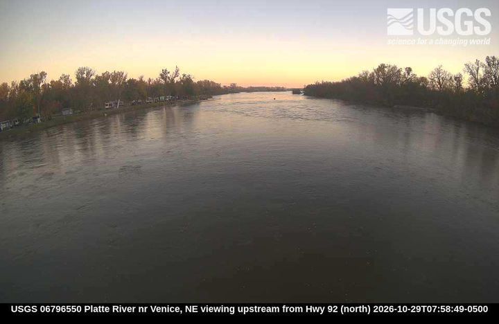
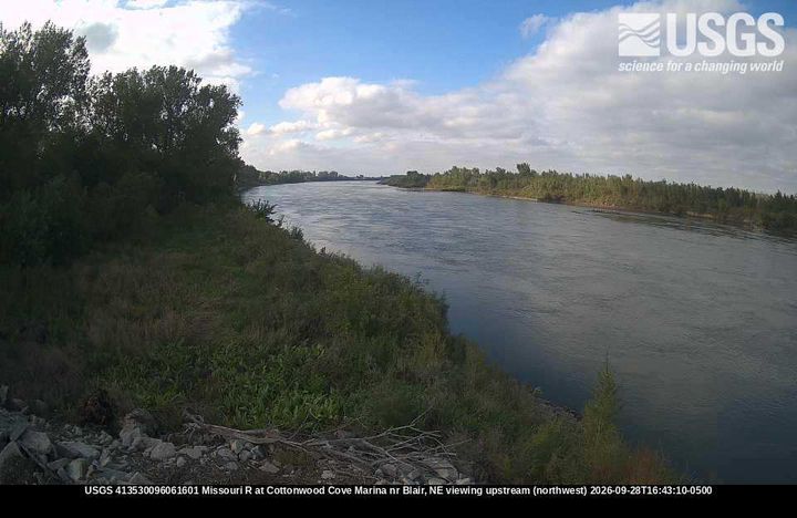
Nebraska's webcam network includes traffic cameras across 273 cities and towns, along with dedicated water and nature monitoring. The state's river systems are monitored at several key points, including the Missouri River at Blair, the Platte River near Grand Island and near Schuyler, and the Elkhorn River near Winslow. These water-monitoring cameras provide real-time visibility into flow conditions and water levels across the state's major waterways.
Notable cameras: Missouri River at Blair · Platte River near Grand Island · Elkhorn River near Winslow · Missouri River at Decatur.
Live Cameras in Nebraska
Other Cities
Gretna (2) · Lincoln County (2) · Wahoo (2) · Waverly (2) · 3 miles west of the Melia area (2) · Grand Island (2) · Sidney (2) · 1 mile south of the White Clay area (1) · 1 mile west of the Aurora area (1) · 1 mile west of the Eddyville area (1) · 1 mile west of the Emerald area (1) · 1 mile west of the Goehner area (1) · 1 mile west of the Grand Island area (1) · 1 mile west of the Haigler area (1) · 1 mile west of the Long Pine area (1) · 1 mile west of the Obert area (1) · 1 mile west of the Rushville area (1) · 10 miles north of the Bridgeport area (1) · 10 miles south of the Arthur area (1) · 10 miles west of the Gothenburg area (1) · 10 miles west of the North Platte area (1) · 11 miles east of the Lexington area (1) · 11 miles north of the Wellfleet area (1) · 12 miles east of the North Platte area (1) · 12 miles east of the Paxton area (1) · 12 miles south of the McCook area (1) · 12 miles west of the Grand Island area (1) · 12 miles west of the Hyannis area (1) · 12 miles west of the Oconto area (1) · 12 miles west of the Union area (1) · 13 miles east of the Alliance area (1) · 13 miles west of the Jackson area (1) · 13 miles west of the Kearney area (1) · 13 miles west of the Naper area (1) · 14 miles south of the Hay Springs area (1) · 14 miles south of the Mullen area (1) · 14 miles south of the Thedford area (1) · 15 miles south of the Kimball area (1) · 16 miles east of the Arthur area (1) · 16 miles east of the Kearney area (1) · 16 miles south of the O'Neill area (1) · 17 miles north of the Schuyler area (1) · 17 miles south of the Gering area (1) · 18 miles south of the Ainsworth area (1) · 19 miles north of the Arthur area (1) · 2 miles east of the Goehner area (1) · 2 miles east of the Gretna area (1) · 2 miles east of the Inman area (1) · 2 miles east of the Kearney area (1) · 2 miles east of the Kimball area (1) · 2 miles east of the La Platte area (1) · 2 miles east of the Lewellen area (1) · 2 miles east of the Waverly area (1) · 2 miles east of the Winside area (1) · 2 miles north of the Burwell area (1) · 2 miles north of the Grant area (1) · 2 miles north of the Hyannis area (1) · 2 miles south of the David City area (1) · 2 miles south of the Lincoln area (1) · 2 miles west of the Alma area (1) · 2 miles west of the Anselmo area (1) · 2 miles west of the Bayard area (1) · 2 miles west of the Culbertson area (1) · 2 miles west of the Emerald area (1) · 2 miles west of the Kimball area (1) · 2 miles west of the Melia area (1) · 2 miles west of the Papillion area (1) · 2 miles west of the Scribner area (1) · 2 miles west of the Sidney area (1) · 2 miles west of the Wilsonville area (1) · 2 miles west of the Wisner area (1) · 2 miles west of the Wood Lake area (1) · 2 miles west of the York area (1) · 20 miles north of the Kimball area (1) · 20 miles north of the Mitchell area (1) · 20 miles south of the Atkinson area (1) · 20 miles west of the Springview area (1) · 21 miles north of the Norfolk area (1) · 21 miles south of the Rushville area (1) · 24 miles south of the Bassett area (1) · 24 miles south of the Crawford area (1) · 26 miles north of the Crawford area (1) · 26 miles west of the Hyannis area (1) · 28 miles north of the Norfolk area (1) · 29 miles north of the Thedford area (1) · 3 miles east of the Grand Island area (1) · 3 miles east of the Mason City area (1) · 3 miles east of the North Platte area (1) · 3 miles east of the Royal area (1) · 3 miles east of the Valentine area (1) · 3 miles east of the York area (1) · 3 miles south of the Ceresco area (1) · 3 miles south of the Cortland area (1) · 3 miles south of the Spencer area (1) · 3 miles west of the Arcadia area (1) · 3 miles west of the Gothenburg area (1) · 3 miles west of the Grand Island area (1) · 3 miles west of the Scottsbluff area (1) · 30 miles south of the Merriman area (1) · 32 miles north of the Mullen area (1) · 38 miles north of the Norfolk area (1) · 38 miles south of the Gordon area (1) · 4 miles east of the Aurora area (1) · 4 miles east of the Cozad area (1) · 4 miles east of the Kearney area (1) · 4 miles east of the Waverly area (1) · 4 miles north of the Columbus area (1) · 4 miles north of the Lyons area (1) · 4 miles north of the Springview area (1) · 4 miles south of the Dawson area (1) · 4 miles south of the Humphrey area (1) · 4 miles west of the Big Springs area (1) · 4 miles west of the Goehner area (1) · 4 miles west of the Lexington area (1) · 4 miles west of the Melia area (1) · 5 miles east of the Gordon area (1) · 5 miles east of the Grand Island area (1) · 5 miles east of the Tryon area (1) · 5 miles north of the Hebron area (1) · 5 miles north of the Newman Grove area (1) · 5 miles south of the Chadron area (1) · 5 miles south of the Wymore area (1) · 5 miles west of the Big Springs area (1) · 5 miles west of the Palmyra area (1) · 55 miles north of the Norfolk area (1) · 6 miles east of the Broadwater area (1) · 6 miles east of the Lewellen area (1) · 6 miles east of the Ogallala area (1) · 6 miles north of the Bartlett area (1) · 6 miles north of the Western area (1) · 6 miles south of the Alliance area (1) · 6 miles south of the Bartlett area (1) · 6 miles south of the Clay Center area (1) · 6 miles south of the Cozad area (1) · 6 miles south of the Sargent area (1) · 6 miles south of the Spencer area (1) · 6 miles west of the Aurora area (1) · 6 miles west of the Kearney area (1) · 6 miles west of the Kimball area (1) · 6 miles west of the Melia area (1) · 6 miles west of the Norfolk area (1) · 6 miles west of the Sidney area (1) · 7 miles east of the Arnold area (1) · 7 miles east of the Aurora area (1) · 7 miles east of the North Platte area (1) · 7 miles east of the Paxton area (1) · 7 miles north of the Valentine area (1) · 7 miles south of the Wallace area (1) · 7 miles west of the Chappell area (1) · 7 miles west of the Emerald area (1) · 7 miles west of the Grand Island area (1) · 8 miles east of the Arnold area (1) · 8 miles east of the Crawford area (1) · 8 miles east of the Pine Bluffs area (1) · 8 miles east of the Waverly area (1) · 8 miles east of the York area (1) · 8 miles north of the Berea area (1) · 8 miles north of the Gothenburg area (1) · 8 miles south of the Gothenburg area (1) · 8 miles south of the Oconto area (1) · 8 miles west of the Gothenburg area (1) · 8 miles west of the Halsey area (1) · 8 miles west of the Melia area (1) · 8 miles west of the Ogallala area (1) · 8 miles west of the York area (1) · 9 miles east of the Chappell area (1) · 9 miles east of the Harrison area (1) · 9 miles east of the Kimball area (1) · 9 miles east of the Sidney area (1) · 9 miles west of the Atlanta area (1) · 9 miles west of the Sidney area (1) · Aurora (1) · Belvidere (1) · Benkelman (1) · Big Springs (1) · Brewster (1) · Butte (1) · Campbell (1) · Ceresco (1) · Chappell (1) · Chester (1) · Columbus (1) · Council Bluffs (1) · Decatur (1) · Deuel County (1) · Duncan (1) · Dunning (1) · Emerald (1) · Emerson (1) · Fall River County (1) · Fremont (1) · Gothenburg (1) · Harbine (1) · Harrison (1) · Henry (1) · Hershey (1) · Homestead National Historical Park (1) · Julian (1) · Kimball (1) · Knox County (1) · La Platte (1) · La Vista (1) · Lexington (1) · Martin (1) · Melia (1) · Miller (1) · Minden (1) · Nenzel (1) · Newport (1) · North Bend (1) · North Platte (1) · Oakland (1) · Ogallala (1) · Oshkosh (1) · Overton (1) · Palmyra (1) · Paxton (1) · Pender (1) · Petersburg (1) · Pine Bluffs (1) · Plattsmouth (1) · Riverton (1) · Rogers (1) · Saunders County (1) · Seneca (1) · South Sioux City (1) · Sutherland (1) · Syracuse (1) · Tekamah (1) · Thedford (1) · Tryon (1) · Valley (1) · Venango (1) · Verdigre (1) · Wellfleet (1) · West Point (1) · Winnebago (1) · Winslow (1) · Yankee Hill (1) · 1 mile east of the Aurora area (1) · York (1) · 1 mile east of the Enders area (1) · 1 mile east of the Grand Island area (1) · 1 mile east of the Lincoln area (1) · 1 mile east of the Maxwell area (1) · 1 mile east of the North Platte area (1) · 1 mile east of the Overton area (1) · 1 mile east of the Ponca area (1) · 1 mile east of the Union area (1) · 1 mile east of the York area (1) · 1 mile north of the Eustis area (1) · 1 mile south of the Dalton area (1) · 1 mile south of the Manley area (1) · 1 mile south of the Taylor area (1)