opencctv.org

SR431 east of SR28

Live

Washoe County, Nevada, United States

Local conditions - - - -
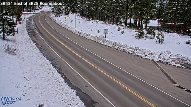
SR431 east of SR28 SR431 east of SR28
Connecting...
View full screen Open feed URL
Location
Category
Coordinates
39.2523, -119.9730
Feed Type
IMAGE
Camera ID
439514

Camera operated by a third party. Not affiliated with or endorsed by OpenCCTV.

Live traffic camera on SR431 east of SR28 in Washoe County, Nevada, US. View real-time road conditions, congestion, and weather. Part of the Washoe County traffic camera network on opencctv.org.

SR431 east of SR28 is a traffic camera in Washoe County, Nevada, US, positioned at 39.2523°, -119.9730°. It looks out over the roadway and live traffic conditions. It is one of 43 live cameras in Washoe County.

Loading weather…
Recent uptime
92% over last 13 checks, latest 22 Nov 2026
More cameras in Washoe County More Traffic cameras Random camera

Similar cameras

I-75 NB at Alligator Alley MP 51.7
Collier County, Florida
I-75 SB at Alligator Alley MP 55.5
Collier County, Florida
I-75 NB at Alligator Alley MP 59.5
Collier County, Florida
I-75 SB at Alligator Alley MP 61.0
Collier County, Florida
I-75 SB at Alligator Alley MP 63.1
Collier County, Florida
I-75 NB at Alligator Alley MP 65.0
Collier County, Florida

Nearby Cameras

SR431 @ 2nd Creek Dr
🚗 0.1 mi away
SR28 south of SR431
SR28 south of SR431
🚗 0.5 mi away
SR-28 @ Crystal Bay
SR-28 @ Crystal Bay
🚗 2.2 mi away
Diamond Peak - Snowflake Lodge
⛷️ 2.6 mi away
Diamond Peak - Base Area
⛷️ 2.6 mi away
SR431 @ Brake Check Area
🚗 3.2 mi away
Hwy 28 at Hwy 267 Kings Beach
🚗 3.3 mi away
SR431 West Side Meadows
🚗 4.4 mi away