opencctv.org

Cheyenne River near Wasta

Live

Wasta, South Dakota, United States

Local conditions - - - -
Cheyenne River near Wasta Cheyenne River near Wasta
Connecting...
View full screen Open feed URL
Location
Category
water
Coordinates
44.0811, -102.4013
Feed Type
IMAGE
Camera ID
24843

Courtesy: U.S. Geological Survey, US public domain (17 U.S.C. § 105). Camera operated by US Geological Survey. Not affiliated with or endorsed by OpenCCTV.

Live water webcam at Cheyenne River near Wasta in Wasta, South Dakota, US. Watch real-time conditions at Cheyenne River near Wasta. Explore more live cameras from around the world on opencctv.org.

This webcam looks at the Cheyenne River and its surrounding shoreline in Wasta, South Dakota. The feed captures water conditions and the landscape along this section of the river in the northern Great Plains.

Loading weather…
Recent uptime
100% over last 10 checks, latest 22 Nov 2026
More cameras in Wasta Random camera

Similar cameras

Lick Creek near Woodside
Springfield, Illinois
Sapello River above Sapello
Sapello, New Mexico
Lake Serene at Edgewood
Baltimore, Maryland
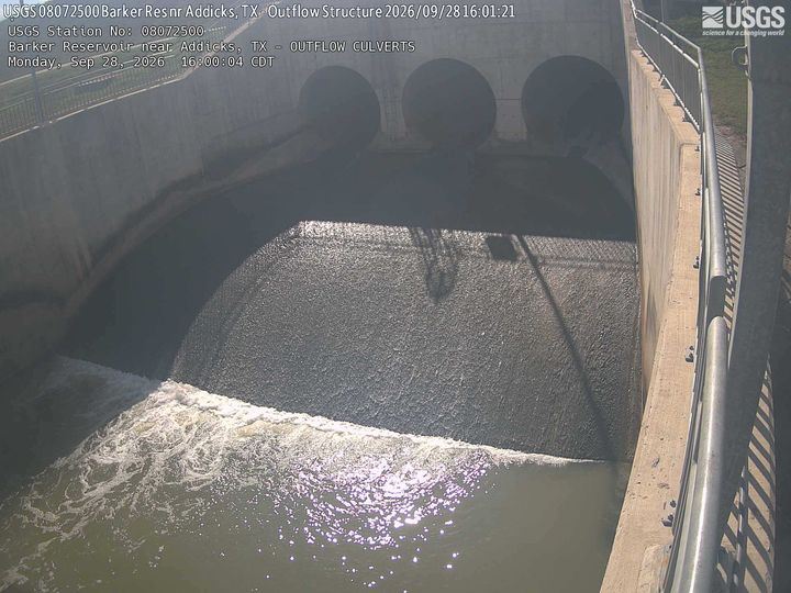
Barker Reservoir near Addicks OUTFLOW CULVERTS
Houston, Texas
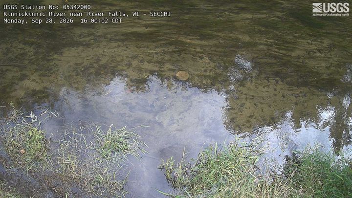
Kinnickinnic River near River Falls SECCHI
Hastings, Wisconsin
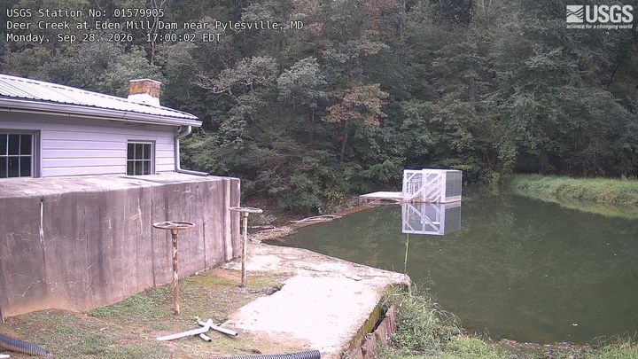
Deer Creek at Eden Mill Dam near Pylesville
Pylesville, Maryland

Nearby Cameras

Wall-west of town along I-90 @ MP 108.4 looking west
🚗 7.9 mi away
Wall-east of town along I-90 @ MP 111.5 looking west
🚗 11 mi away
Wall-east of town along I-90 @ MP 111.5 looking east
🚗 11 mi away
Wall-east of town along I-90 @ MP 111.5 road surface
🚗 11 mi away
Wall-east of town along I-90 @ MP 111.5 looking south
🚗 11 mi away
Cheyenne River at Red Shirt
💧 37 mi away
Rapid City-US-16B/Elk Vale Rd south of I-90 exit 61 looking north
🚗 37 mi away
Rapid City-US-16B/Elk Vale Rd south of I-90 exit 61 looking south
🚗 37 mi away