opencctv.org

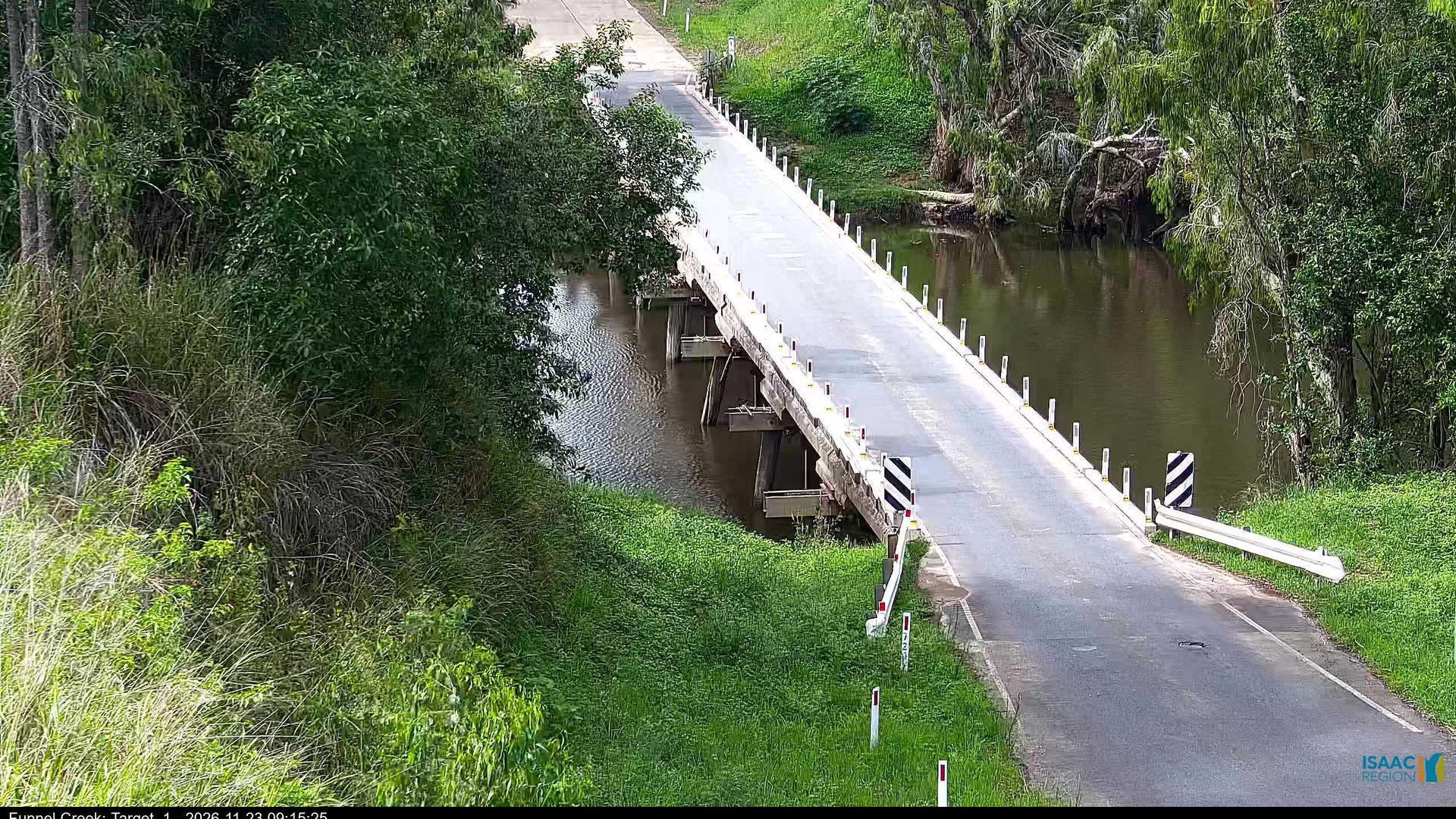
Oxford: Funnel Creek - Marlborough Sarina Road

Live

Queensland, Australia

Local conditions - - - -
Oxford: Funnel Creek - Marlborough Sarina Road Oxford: Funnel Creek - Marlborough Sarina Road
Connecting...
View full screen Open feed URL
Location
Category
water
Coordinates
-21.7780, 148.9338
Feed Type
IMAGE
Camera ID
316795

Camera operated by a third party. Not affiliated with or endorsed by OpenCCTV.

Live water webcam at Oxford: Funnel Creek - Marlborough Sarina Road in Oxford, Queensland, AU. Watch real-time conditions at Oxford: Funnel Creek - Marlborough Sarina Road. Explore more live cameras from around the world on opencctv.org.

Oxford: Funnel Creek - Marlborough Sarina Road is a water camera in Oxford, Queensland, AU, positioned at -21.7780°, 148.9338°. It looks out over the water and surrounding shoreline. 8 other live cameras are located nearby.

Loading weather…
Recent uptime
100% over last 10 checks, latest 21 Nov 2026
More cameras in Queensland Random camera

Similar cameras

Rovaniemi: Lordin Aukio, Finland
Rovaniemi, Mainland Finland
Klíny Ski Area
Klíny Ski Area
Kliny, Ustecky kraj
Cape Town: South Africa
Cape Town, Western Cape
Oslo: Havn - Raadhuskaia
Oslo, Oslo
Parga, Epirus
Parga, Epirus
Agia Kyriaki, Epirus and Western Macedonia
Honolulu: Beach
Honolulu: Beach
Honolulu, Hawaii

Nearby Cameras

Oxford: Denison Creek
💧 9.4 mi away
Isaac Regional: Marlborough Sarina Road - Prospect Creek Road
🚗 12 mi away
Koumala › West: Station Creek
💧 23 mi away
Eton - Peak Downs Highway - Bottom of the Range - South
🚗 31 mi away
Sarina - Bruce Highway and Anzac Street - South
🚗 31 mi away
Sarina › North-east: Sarina Beach Road
🚗 32 mi away
Isaac Regional: Suttor Developmental Road
🚗 32 mi away
Coppabella › North-east: Peak Downs Highway
🚗 32 mi away