Vanderhoof Traffic Cameras Live
6 live cameras
Featured live cameras in Vanderhoof 6 picks
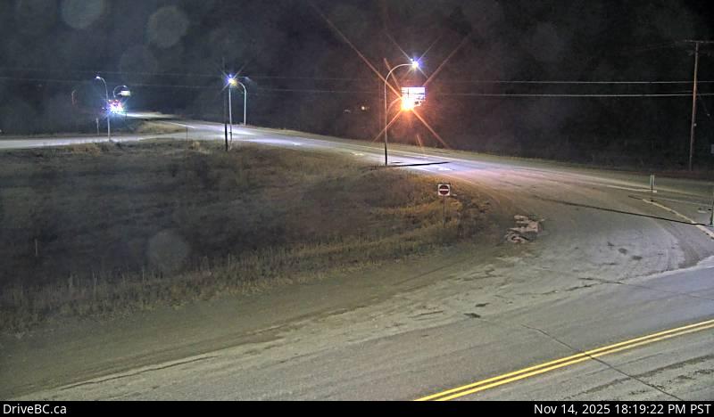
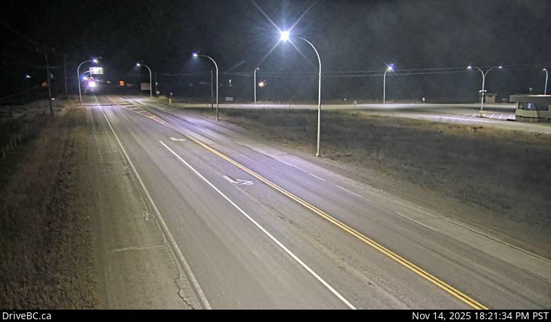
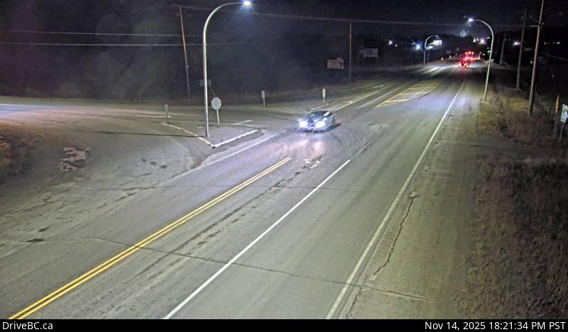
At a glance
Roads with the most cameras in Vanderhoof
Highway 16 has the most cameras here: 3 of 6.
| Road | Type | Cameras | Share |
|---|---|---|---|
| Highway 16 | Highway | 3 | 50% |
| Highway 27 | Highway | 3 | 50% |
Who runs these cameras
The 6 cameras in Vanderhoof come from several operators: BC Ministry of Transportation and Infrastructure (3). 3 more are run by other operators. OpenCCTV shows each operator's public feed on one page; it is not affiliated with any of them.
Vanderhoof has 6 live cameras covering traffic, airport, weather.
Located in British Columbia, Canada, Vanderhoof is #114 of 1,150 cities with camera coverage in Canada.
Check real-time traffic conditions in Vanderhoof before your commute. Live traffic cameras update continuously.
Open the live webcam map to explore all public cameras in Vanderhoof.
About live cameras in Vanderhoof
Vanderhoof is a city in central British Columbia served by webcams covering Highway 16 at its intersection with Highway 27 from multiple angles, as well as Vanderhoof Airport. The highway cameras monitor traffic flow at this key junction in the region.
Notable cameras: Hwy 16 at Hwy 27 - N · Hwy 16 at Hwy 27 - W · Hwy 16 at Hwy 27 - E · Vanderhoof › East.
Other cities in British Columbia
Vancouver (136) · Surrey (74) · Columbia-Shuswap Regional District (62) · Delta (47) · Whistler Resort Municipality (41) · Thompson-Nicola Regional District (37) · Saanich (31) · Abbotsford (30) · Regional District of Bulkley-Nechako (28) · Rossland (27)
Nearby
Regional District of Bulkley-Nechako, British Columbia (28) · Prince George, British Columbia (10) · Burns Lake, British Columbia (5) · Regional District of Fraser-Fort George, British Columbia (16) · Houston, British Columbia (5)