opencctv.org

Bucktail (Arthur East)

Live

Arthur, Nebraska, United States

Local conditions - - - -
Bucktail (Arthur East) Bucktail (Arthur East)
Connecting...
View full screen Open feed URL
Location
Category
Coordinates
41.5701, -101.3817
Feed Type
IMAGE
Camera ID
442509

Camera operated by Nebraska Department of Transportation. Not affiliated with or endorsed by OpenCCTV.

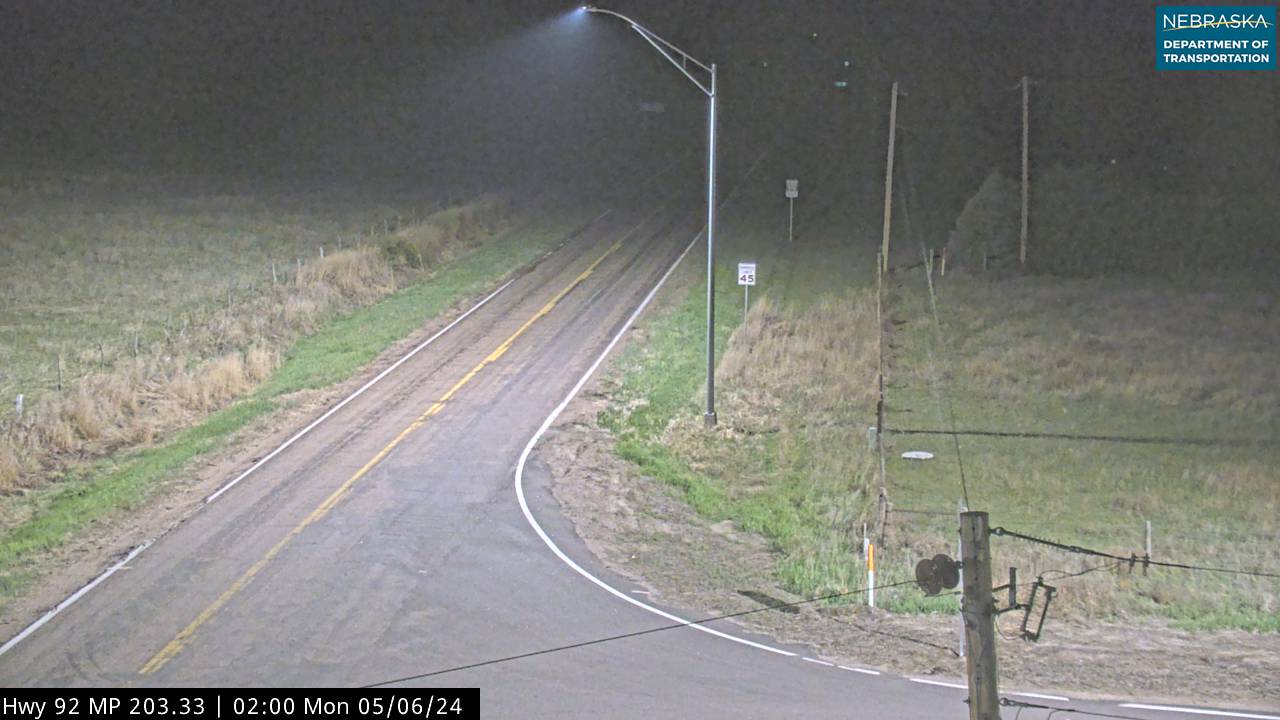
Live traffic camera on Bucktail (Arthur East) in 16 miles east of the Arthur area, Nebraska, US. View real-time road conditions, congestion, and weather. Part of the 16 miles east of the Arthur area traffic camera network on opencctv.org.

Bucktail (Arthur East) is a traffic camera in 16 miles east of the Arthur area, Nebraska, US, positioned at 41.5701°, -101.3817°. It looks out over the roadway and live traffic conditions. 8 other live cameras are located nearby.

Loading weather…
Recent uptime
100% over last 10 checks, latest 21 Nov 2026
More cameras in Arthur More Traffic cameras Random camera

Similar cameras

T.H.10 WB @ 34th St
T.H.10 WB @ 34th St
Moorhead, Minnesota
I-94 EB @ Dayton Pkwy NB
Dayton, Minnesota
I-694 NB @ 10th St
I-694 NB @ 10th St
Oakdale, Minnesota
T.H.36 WB @ Oakgreen Ave (Greeley St)
Stillwater, Minnesota
I-94 WB (MP 198)
I-94 WB (MP 198)
Otsego, Minnesota
T.H.101 SB @ C.S.A.H.144
Rogers, Minnesota

Nearby Cameras

Arthur South
Arthur South
🚗 20 mi away
Tryon
Tryon
🚗 22 mi away
Dismal River S of Mullen
🚗 26 mi away
Martin Bay at Ogallala
🚗 27 mi away
N of Arthur
N of Arthur
🚗 26 mi away
Paxton Exit
Paxton Exit
🚗 32 mi away
Sutherland
Sutherland
🚗 31 mi away
Sutherland
Sutherland
🚗 32 mi away