opencctv.org

Hartington

Live

Norfolk, Nebraska, United States

Local conditions - - - -
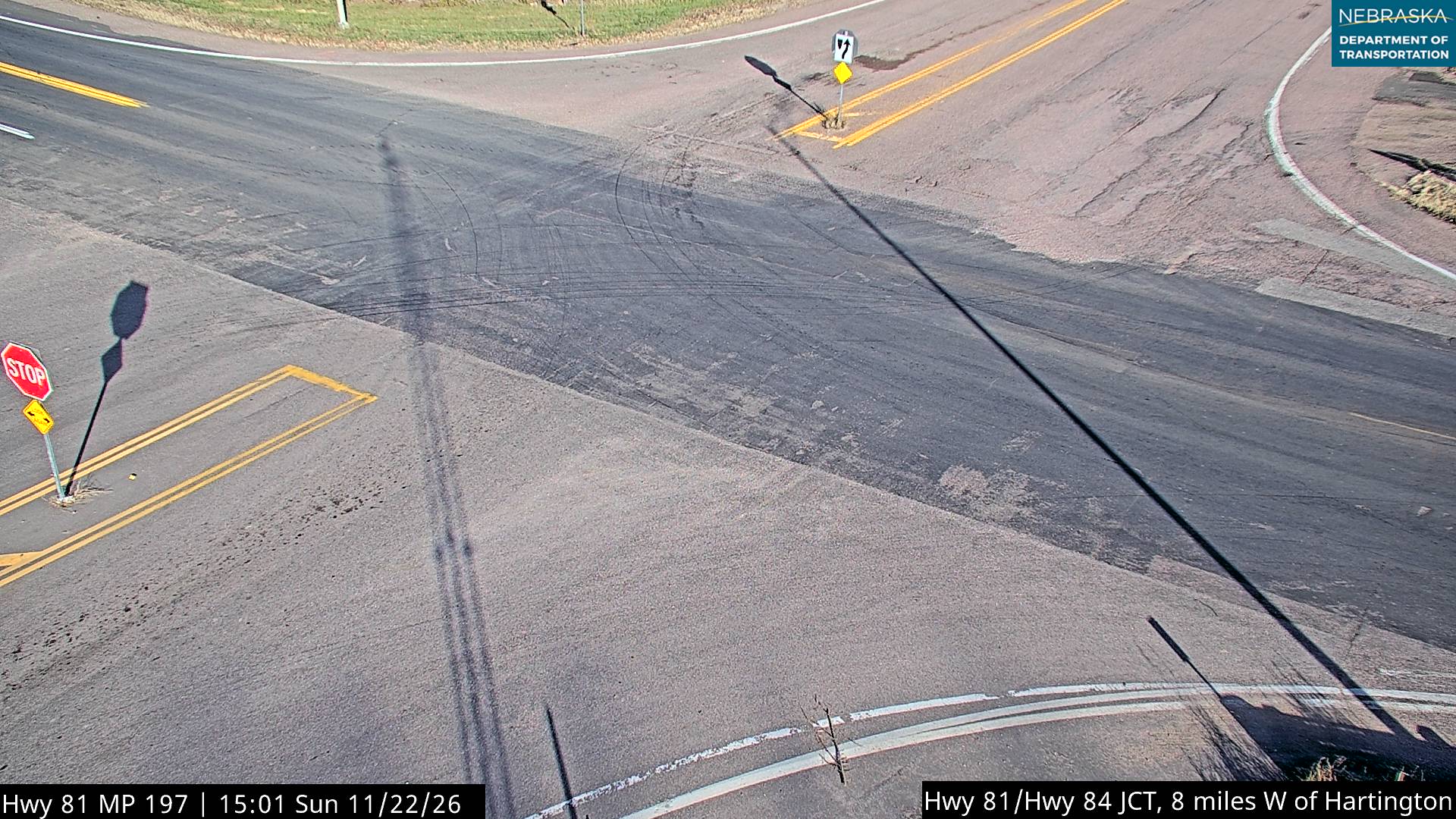
Hartington Hartington
Connecting...
View full screen Open feed URL
Location
Category
Coordinates
42.6128, -97.4263
Feed Type
IMAGE
Camera ID
442517

Camera operated by Castle Rock CARS image host for state DOTs. Not affiliated with or endorsed by OpenCCTV.

Live traffic camera on Hartington in 38 miles north of the Norfolk area, Nebraska, US. View real-time road conditions, congestion, and weather. Part of the 38 miles north of the Norfolk area traffic camera network on opencctv.org.

Hartington is a traffic camera in 38 miles north of the Norfolk area, Nebraska, US, positioned at 42.6128°, -97.4263°. It looks out over the roadway and live traffic conditions. 8 other live cameras are located nearby.

Loading weather…
Recent uptime
100% over last 10 checks, latest 22 Nov 2026
More cameras in Norfolk More Traffic cameras Random camera

Similar cameras

T.H.10 WB @ 34th St
T.H.10 WB @ 34th St
Moorhead, Minnesota
I-94 EB @ Dayton Pkwy NB
Dayton, Minnesota
I-694 NB @ 10th St
I-694 NB @ 10th St
Oakdale, Minnesota
T.H.36 WB @ Oakgreen Ave (Greeley St)
Stillwater, Minnesota
I-94 WB (MP 198)
I-94 WB (MP 198)
Otsego, Minnesota
T.H.101 SB @ C.S.A.H.144
Rogers, Minnesota

Nearby Cameras

Hwy 81 Magnet
Hwy 81 Magnet
🚗 10 mi away
So Yankton
So Yankton
🚗 16 mi away
W of Randolph
W of Randolph
🚗 17 mi away
Gavin’s Point Yacht Club
💧 18 mi away
Chan Gurney Muni Airport (NE)
✈️ 21 mi away
Chan Gurney Muni Airport (SE)
✈️ 21 mi away
Chan Gurney Muni Airport (SW)
✈️ 21 mi away
Chan Gurney Muni Airport (NW)
✈️ 21 mi away